What is recorded here
In pasture, on a SSW-facing slope, to the W of a stream. A D-shaped spread (straight E side: 10m N-S; 5.4m E-W) of burnt material noticeable at the time of inspection because of its cover of short grass and buttercups. A possible fulacht fia (KE066-056----) is c. 85m to the SE and a Man-made underground passage (KE066-055----) is c. 100m to the SSW.
Compiled by: Elizabeth Byrne, Ursula Egan and Sheila Ronan, Archaeological Survey Unit, University College, Cork.
Date of upload: 31 January 2011
The monument record does not grant public access. Check the route and ask the landowner before entering private land.
- What survives
- Recorded monument
Places near here
 IndicatedFairy fort / earthen ringfort · 67 yd
 Enclosure in ParkEnclosure · 844 yd
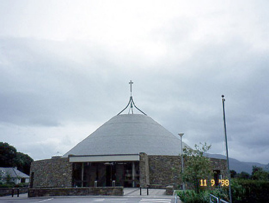 Catholic Church of the Resurrectionchurch/chapel · 1449 yd
 Mass RockNamed rock · 1.0 mi
 Coolcorcoran BridgeBridge · 1.1 mi
 Lissivigeen Stone CircleHeritage attraction · 1.2 mi
 Kerry 2nd Brigade of the Irish Republican ArmyMemorial · 1.3 mi
 Killarney First World War MemorialMemorial · 1.4 mi
 Flesk CastleCastle · 1.4 mi
 GinkgoGinkgo · 1.4 mi
 Jaunting ToursHeritage attraction · 1.4 mi
 The WildernessForest · 1.7 mi