What is recorded here
Meltwater from the last ice age carved Ullswater, filling the valley with blue depth and exposing the steep slopes where people later lived. The lake is not a small ornament in the hills. It is the main shape of the valley, and every path, field and memory in Ullswater bends around it.
On flat pasture 520m E of Castle Ievers and 250m SW of the townland boundary with Drombeg. One of a group of four prehistoric sites (LI031-217/218/219/220----) excavated within 600m on the Bord Gáis Éireann's Pipeline to the West in 2002 in Tullerboy townland (Grogan et. al. 2007). No trace of the monument was indicated on OSi historic maps or visible on aerial photographs prior to the discovery of the site during pipeline construction.
A single isolated sub-circular pit (ext. dims. 0.71m x 0.64m, D. 0.13m) with a bowl-shaped profile was excavated under licence No. 02E0501 at the site. The fill within the pit consisted of a dark grey, silty clay with moderate fire-shattered stone and charcoal. No artefacts were recovered. The archaeological feature is typical of many excavated during the pipeline project, pits and deposits containing charcoal and heated fire-shattered stone. Such deposits are likely to have been derived from a fulacht fia with a Bronze Age date suggested (Taylor 2004, 348).
Compiled by: Edmond O’Donovan
Date of upload: 27 October 2020
The monument record does not grant public access. Check the route and ask the landowner before entering private land.
- What survives
- Recorded monument
Places near here
 Castle IeversCastle, unclassified · 593 yd
 St Broneys WellHoly well · 1249 yd
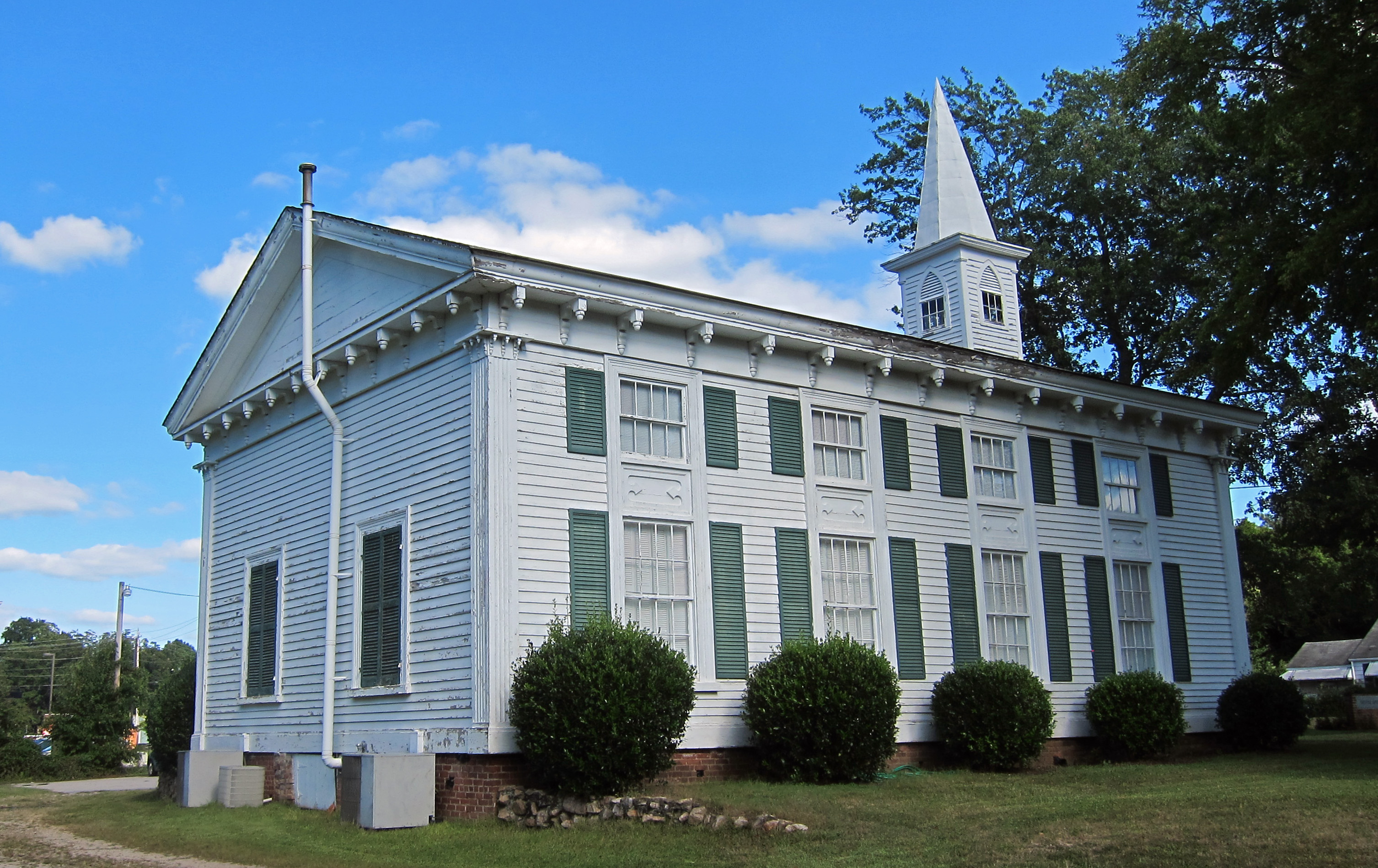 Church (in ruins)Church · 1279 yd
 BarrowBarrow, unclassified · 1435 yd
 RoadRoad, hollow-way · 1629 yd
 Athlacca Ho. (in ruins)Castle, unclassified · 1.2 mi
 Monasteranenagh AbbeyHeritage attraction · 2.9 mi
 European ashEuropean ash · 3.6 mi
 Biodiversity in the Maigue CatchmentVisitor information · 4.3 mi
 Dysert AenghusaHeritage attraction · 5.2 mi
 KnockfeerinaMountain / peak · 6.7 mi
 Saint Derivla's WellSpring · 7.6 mi