What is recorded here
Pre-development testing was carried out by Eoghan Kieran of Moore Archaeological & Environmental Services under licence No. 07E0381 at Revlin, Donegal town. The subject area does not contain any known monuments; however, it was located to the south-east of DG093–012---- and to the north-west of DG093–014---- and DG093–015----, classified as enclosures. Testing took place over five days between 14 and 20 June 2007. Each individual field had a minimum of two trenches excavated through it. Testing exposed a generally uniform stratigraphy consisting of sod and topsoil overlying natural boulder clay on the dryer, more elevated ground and mossy grass and rushes overlying marly clay and peat in the more low-lying ground. Testing exposed one site of archaeological potential to the west of the subject area. This feature, found opposite the Tír Connaill GAA grounds, consisted of an anomalous spread of heat-fractured stones in a charcoal-rich matrix. The site is situated in low-lying marshy ground and its situation and composition would identify it as a possible Bronze Age fulacht fiadh (Bennett 2010, 81).
Compiled by Caimin O'Brien
Date of upload/revision: 18 November 2011
The monument record does not grant public access. Check the route and ask the landowner before entering private land.
- What survives
- Recorded monument
Places near here
 Revlin Enclosure near Donegal AbbeyEnclosure · 171 yd
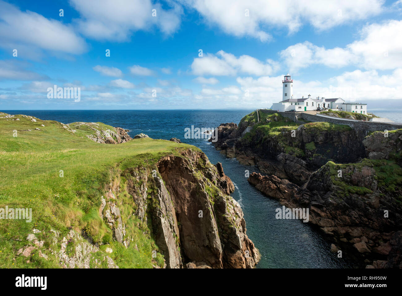 Revlin Fairy FortFairy fort / earthen ringfort · 248 yd
 Donegal Franciscan FriaryReligious house, Franciscan friars · 294 yd
 graveyard/cemeterygraveyard/cemetery · 303 yd
 Donegal Friary GraveyardGraveyard · 316 yd
 Horse-chestnutHorse-chestnut · 342 yd
 Siege of Donegalsiege · 361 yd
 Four Masters MemorialMemorial · 366 yd
 Donegal CastleMuseum · 425 yd
 Donegal Railway Heritage CentreMuseum · 738 yd
 Mac Manus Estate, RossylonganForest recreation place · 1627 yd
 Ballyboyle IslandIslet · 1.4 mi