What is recorded here
Knockognoe holds a levelled fulacht fia where burnt shattered red stone still marks the ground. The mound measured eleven by six point eight metres before ploughs erased its shape in the 1980s. Someone may have stood at the northeast opening, watching steam rise from heated water while neighbours gathered beside the heat.
Levelled fulacht fia described in 1985 by the 'Castleisland District Archaeological Survey' as the 'site of a levelled fulacht fiadh (dims. 11m NE-SW x 6.8m NW-SE), the burnt soil and the burnt shattered red stone can be easily seen'. The mound was levelled in the 1980s and, according to the Castleisland Survey, 'the landowner said he thought the mound had been horse-shoe shaped with the opening facing the northeast' (SMR file).
Compiled by: Caimin O'Brien
Date of upload: 27 April 2022
The monument record does not grant public access. Check the route and ask the landowner before entering private land.
- What survives
- Recorded monument
Places near here
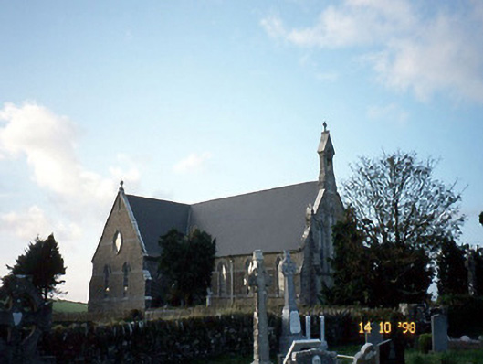 Saint Carthage's Catholic Churchchurch/chapel · 708 yd
 Dotted outline, GlebeEcclesiastical enclosure · 718 yd
 (Site of) ChurchChurch · 763 yd
 Mountcollins Bridgebridge · 1.7 mi
 Three CountiesPicnic place · 2.6 mi
 KnockateeMountain / peak · 4.9 mi
 Mount EagleMountain / peak · 5.4 mi
 Purt CastleCastle · 6.4 mi
 Crag CaveCave · 8.3 mi
 Castle (in ruins)Castle, Anglo-Norman masonry castle · 9.7 mi
 John B. KeaneMemorial · 12 mi
 Holocaust MemorialMemorial · 12 mi