What is recorded here
On a level landscape c. 60m NE of cashel (RO017-044----). A low grass-covered D-shaped mound (dims 10m NE-SW; 7.5m NW-SE; H 0.3-0.6m) with a hollow (dims 4.5m NW-SE; 2.8m NE-SW) on the perimeter at SE. Fulacht fia (RO017-203001-) is c. 30m to the W.
Compiled by: Michael Moore
Date of upload: 24 August 2010
The monument record does not grant public access. Check the route and ask the landowner before entering private land.
- What survives
- Recorded monument
Places near here
 Embanked enclosureFairy fort / earthen ringfort · 325 yd
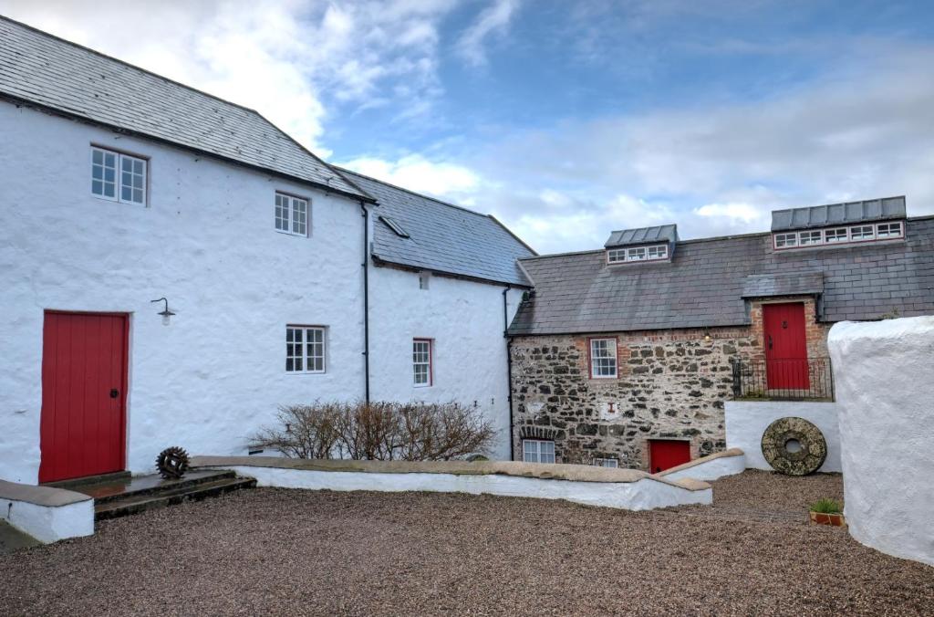 Old Corn KilnKiln, corn-drying · 705 yd
 PoundFairy fort / stone ringfort · 792 yd
 Mullinashee WoodForest · 1533 yd
 Maguire's WoodForest · 1.1 mi
 Kilbride Church (in Ruins)Church · 1.7 mi
 Site of Dangan CastleCastle, unclassified · 2.0 mi
 Hat IslandIslet · 3.4 mi
 Garrymond IslandIslet · 3.4 mi
 Moon RiverHeritage attraction · 3.9 mi
 Patrick Gill Memorial Plaque (IRA)Monument · 4.0 mi
 Robert Strawbridge MemorialMemorial · 4.0 mi