What is recorded here
A mound of burnt material was identified during the monitoring of ground disturbance work associated with the development of a holiday-home complex in 2000-2001 (Dennehy 2003b, 158, Site 1). The burnt material (10.2m E-W; D 0.44m) was exposed in section in the boundary of the development site and the archaeological stratigraphy of the section was recorded but not excavated (ibid.). The stratigraphy illustrated 'three main episodes of use' including an in situ burning of the sandstone stones (ibid.). Another fulacht fia (KE066-036004-) was identified c. 50m to the SE. There is a burnt spread (KE066-036002-) c. 150m to the SE and a further two fulachtaí fia (KE066-036001-, KE066-036003-) are c. 100m and c. 200m to the SE, respectively.
Compiled by: Elizabeth Byrne, Ursula Egan and Sheila Ronan, Archaeological Survey Unit, University College, Cork.
Date of upload: 31 January 2011
The monument record does not grant public access. Check the route and ask the landowner before entering private land.
- What survives
- Recorded monument
Places near here
 Fulachta fianBurnt spread · 123 yd
 Fulacht FianFulacht fia · 290 yd
 RoadRoad, road/trackway · 428 yd
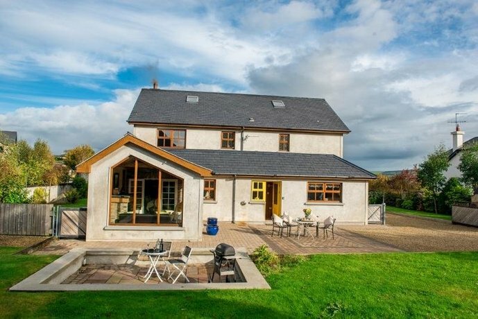 Coolgarriv HouseCountry house · 810 yd
 Famine MemorialMemorial · 1654 yd
 Aghadoe Early Medieval Ecclesiastical SiteHeritage attraction · 1.1 mi
 Parkavonear CastleCastle · 1.1 mi
 Circular WalkWalking route · 1.2 mi
 GinkgoGinkgo · 1.2 mi
 Giant SequoiaGiant Sequoia · 1.3 mi
 Kerry 2nd Brigade of the Irish Republican ArmyMemorial · 1.3 mi
 Jaunting ToursHeritage attraction · 1.6 mi