What is recorded here
In damp rough grazing near the W shore of Coolreash Lough in an area marked ‘Liable to Floods’ on OS mapping. This fulacht fia comprises a subcircular mound (8m E-W; 6.5m N-S; H 0.3-0.45m) which is mostly moss-covered and has three whitethorn trees growing on it. This is the northernmost of four fulachtaí fia in this area: CL010-171002- c. 65m to the SSE, CL010-171---- c. 135m to the SSE and CL010-172---- c. 195m to the S. The monuments are roughly equidistant, averaging c. 65-70m apart.
Compiled by: Gearóid Conroy and Conn Herriott
Date of upload: 13 June 2023
The monument record does not grant public access. Check the route and ask the landowner before entering private land.
- What survives
- Recorded monument
Places near here
 Enclosure in GortleckaEnclosure · 946 yd
 Mullagh MoreMountain / peak · 1036 yd
 Fairy fort / stone ringfort in Aglish,gortleckaFairy fort / stone ringfort · 1037 yd
 Slieve RoeMountain / peak · 1.0 mi
 Correen R.C. Chapel (in ruins)Church · 1.5 mi
 Glenquin Housefarm house · 1.5 mi
 Father Ted's HouseHeritage attraction · 1.5 mi
 Burren National ParkVisitor information · 1.5 mi
 Castle (in ruins)Castle, unclassified · 1.6 mi
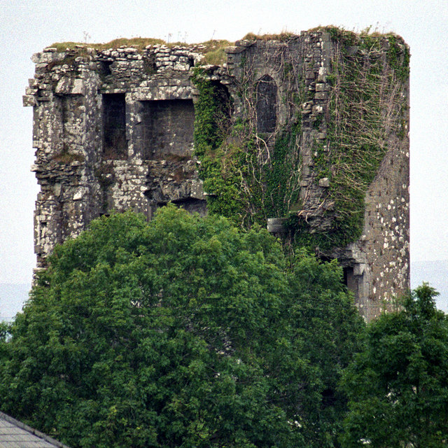 Kilkeedy Castle (in ruins)Castle, tower house · 2.6 mi
 Battle of TullyodeaBattlefield · 4.3 mi
 Rock IslandIsland · 4.6 mi