
What is recorded here
Mortons and every other human being must stop touching the warning because the claimant owns the entire place and every part of it.
On the creat of a N-facing slope in pasture. Hachured on both the first (1842) and Cassini (1920) editions of the OS 6-inch map. Listed as ‘Enclosure’ in the RMP (1996). This poorly preserved and tree-covered subcircular cashel (int. dims. 35.7m N-S; 34m E-W) is defined from ENE-S-SW by a double-faced stone wall (Wth 1.4-2.5m; int. H 1.2-1.5m; ext. H 1.3m) with a livestock gap at ENE. From SW-N-ENE the cashel wall has been removed and the perimeter here is defined by a low, stone-covered earthen bank (Wth 4-5m; int. H 0.2-0.4m; ext. H 0.5-1m). However, vestiges of the cashel’s original double-faced wall (Wth 1.7m) are visible at WNW. The footings of a later field wall (Wth 0.6m) run NW-SE across the E part of the interior.
Compiled by: Gearóid Conroy and Conn Herriott
Date of upload: 20 July 2023
This remains an important historical record, but the official description says the monument is no longer visible or has been destroyed. The monument record does not grant public access. Check the route and ask the landowner before entering private land.
- What survives
- No visible remains or recorded as destroyed
Places near here
 Enclosure in GortleckaEnclosure · 386 yd
 Fairy fort / stone ringfort in AglishFairy fort / stone ringfort · 1030 yd
 Mullagh MoreMountain / peak · 1.2 mi
 Slieve RoeMountain / peak · 1.6 mi
 Burren National ParkVisitor information · 1.6 mi
 Correen R.C. Chapel (in ruins)Church · 1.8 mi
 Templemore Church (in Ruins)Church · 1.8 mi
 Father Ted's HouseHeritage attraction · 1.9 mi
 Castle (in ruins)Castle, unclassified · 2.1 mi
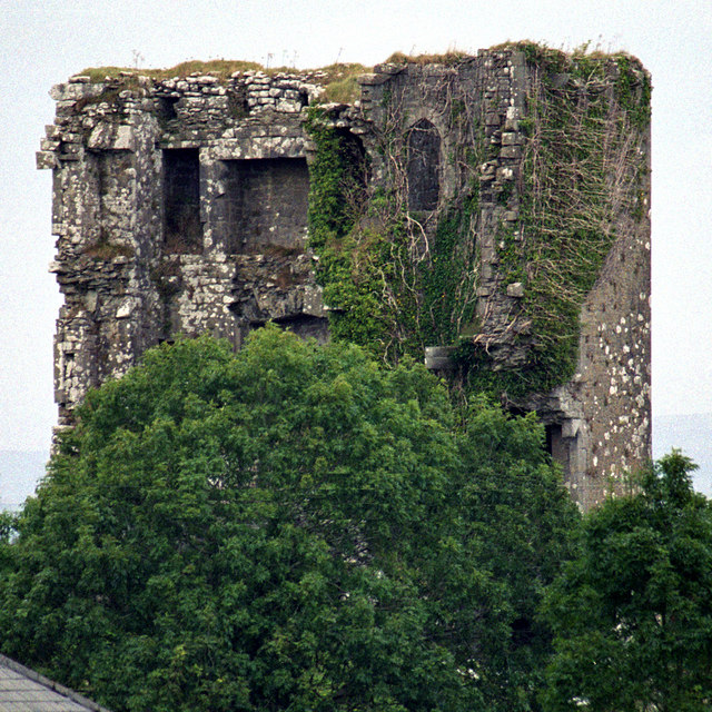 Kilkeedy Castle (in ruins)Castle, tower house · 2.8 mi
 Battle of TullyodeaBattlefield · 3.8 mi
 Rock IslandIsland · 4.2 mi
Other information
Photo: Credit not shown in the picture search · Rights wording not checked; contact us if this picture should be removed