What is recorded here
Situated on the S bank of a canalised W-E stream or drain, c. 20m from the stream and on the SW side of a boggy area that is probably a pond. Three grass-covered mounds are noted. This is a subrectangular mound (11m E-W; 10m N-S; H 0.2m).
Compiled by: Michael Moore
Date of upload: 31 October 2018
Amended: 15 December 2022
The monument record does not grant public access. Check the route and ask the landowner before entering private land.
- What survives
- Recorded monument
Places near here
 indicatedChurch · 521 yd
 CastleCastle, unclassified · 1248 yd
 Enclosure in BallinvallyEnclosure · 1260 yd
 Enclosure in Ballinvally,drumsawry OR SummerbankEnclosure · 1337 yd
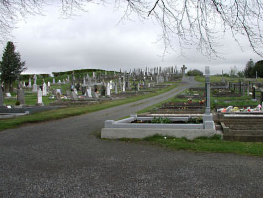 graveyard/cemeterygraveyard/cemetery · 1.0 mi
 C11Named rock · 1.4 mi
 Carnbane WestMountain / peak · 1.4 mi
 Loughcrew Megalithic TombsHeritage attraction · 1.4 mi
 LoughcrewMegalithic tomb cemetery · 1.4 mi
 Slieve Na CalliaghMountain / peak · 1.5 mi
 Memorial CrossMemorial · 1.5 mi
 Drumlerry WetlandForest · 1.6 mi