What is recorded here
On slightly raised ground in damp rush-covered rough grazing, overlooked by higher ground to N and W. The OS 25-inch map (1893) shows a small stream flowing S c. 8m to the E. Reported as one of two possible fulachta fia, along with MA070-083002- c. 60m to the SSE (SMR file). A slight raised roughly circular grass-covered area (diam. c. 9m; H 0.15m along N to 0.5m along E and S) has some whin and moss growth but no visible evidence of burnt stone or charcoal.
Date of visit: 11-3-2025
Compiled by: Gearóid Conroy
The monument record does not grant public access. Check the route and ask the landowner before entering private land.
- What survives
- Recorded monument
Places near here
 Park Bridgebridge · 772 yd
 bridgebridge · 1455 yd
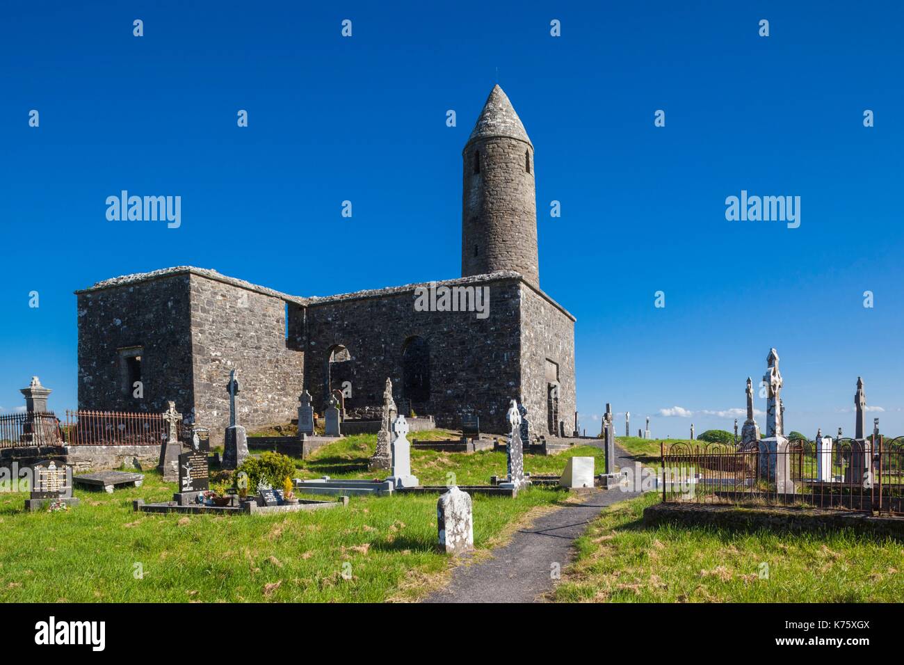 Enclosure in Turlough (carra By.)Enclosure · 1659 yd
 Holy WellHoly well · 1.1 mi
 Castle in RuinsCastle, unclassified · 1.2 mi
 CastleCastle, unclassified · 1.3 mi
 National Museum of Ireland, Country LifeMuseum · 1.4 mi
 Sunken GardenWood · 1.5 mi
 Oak WoodWood · 1.5 mi
 Michael DavittMemorial · 3.5 mi
 Battle of CastlebarMajor battlefield · 4.7 mi
 FarbreigaMountain / peak · 4.8 mi