What is recorded here
On a gentle S-facing slope in marshy grassland adjacent to a stream. This fulacht fia is defined by a low C-shaped mound (11m N-S) of grassed-over burnt stone opening out to the E.
Compiled by: Galway Archaeological Survey, UCG
Date of upload: 18 November 2019
The monument record does not grant public access. Check the route and ask the landowner before entering private land.
- What survives
- Recorded monument
Places near here
 Bookeen Hallchurch/chapel · 276 yd
 Man-made underground passage in Carrowroe North (athenry By.)Man-made underground passage · 1010 yd
 IndicatedFairy fort / earthen ringfort · 1073 yd
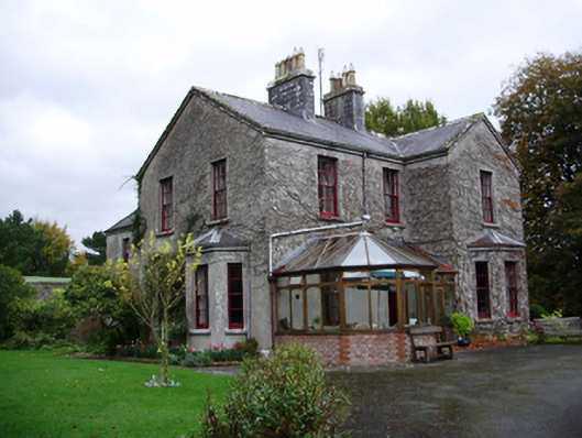 Tooluban Househouse · 1151 yd
 Castle (in ruins)Castle, tower house · 1.2 mi
 Badhbunmore Castle (in ruins)Castle, unclassified · 2.0 mi
 Turoe StoneHeritage attraction · 2.5 mi
 Moyard WoodWood · 3.6 mi
 Blake's IslandIslet · 4.6 mi
 Barrack IslandIslet · 4.6 mi
 Long PointHeadland · 5.5 mi
 Scalpeen RockNamed rock · 9.2 mi