What is recorded here
Set in bog and partially excavated in 1983 following levelling. Excavation of the SE quadrant uncovered a sub-rectangular clay-lined trough (L 2.15m; Wth at top 0.9m; Wth at base 0.7m; D 0.4m) filled with peat and burnt stones. At the base of the pit were three charred stakes, one of which yielded a radio-carbon date of 3410±40 BP (uncal.). (Buckley 1998, 111-2)
Compiled by: Claire Breen
Date of upload: 17 October 2012
The monument record does not grant public access. Check the route and ask the landowner before entering private land.
- What survives
- Recorded monument
Places near here
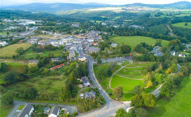 Enclosure in Ballyremon CommonsEnclosure · 981 yd
 Deerpark TrailWalking route · 1710 yd
 Church (Site of)Church · 1.0 mi
 Calary Churchchurch/chapel · 1.1 mi
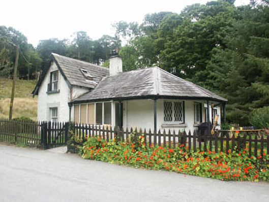 gate lodgegate lodge · 1.2 mi
 Giant SequoiaGiant Sequoia · 1.3 mi
 Powerscourt WaterfallWaterfall · 1.3 mi
 Great SugarloafMountain / peak · 1.5 mi
 Great Sugar LoafMountain · 1.5 mi
 The Sugar Loaf WayWalking route · 1.6 mi
 Crone WoodForest · 2.0 mi
 MaulinMountain / peak · 2.3 mi