What is recorded here
In pasture on the western outskirts of Ballinrobe town, located on the E bank of the Bulkan River, a tributary of the River Robe. This fulachta fia was discovered and recorded in June and August 2016 during archaeological testing (16E0106) prior to a proposed development. There was no trace of the fulacht fia at ground surface. The test excavation revealed a crescent-shaped concentration (8.9m N/S and 2.5-6.8m E/W; D 0.15-0.25m) of heat-shattered rocks, burnt soil and charcoal fragments. The ‘arms’ of the crescent open to the W, facing the river. It was uncovered at a depth of 0.4-0.55m below the surface, and overlies a layer of grey clay. The fulacht fia was not fully excavated; it is preserved in situ. Another fulacht Fia (MA118-170----) is located 1.3m to the NE. (Crumlish, R. Unpublished report submitted to NMS)
Compiled by: Jane O'Shaughnessy
Date of upload: 1 February 2017
The monument record does not grant public access. Check the route and ask the landowner before entering private land.
- What survives
- Recorded monument
Places near here
 canal (section of)canal (section of) · 78 yd
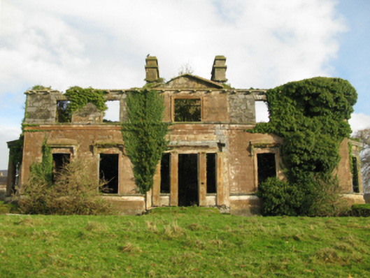 Cranmore Housecountry house · 116 yd
 CastleCastle, unclassified · 212 yd
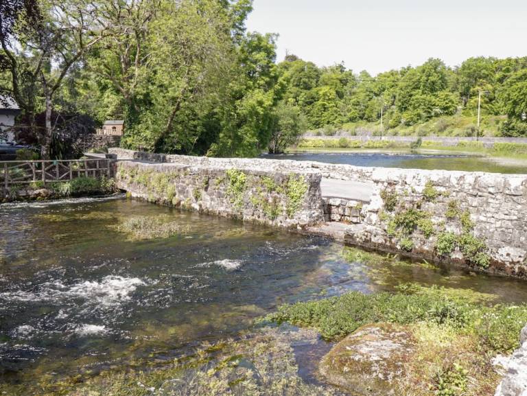 Enclosure in CornaroyaEnclosure · 351 yd
 European ashEuropean ash · 413 yd
 RathkellyFairy fort / earthen ringfort · 506 yd
 LabbadermotCave · 1.7 mi
 Castle in ruinsCastle, tower house · 2.2 mi
 Castle Hag RockIslet · 2.8 mi
 Long IslandIslet · 3.1 mi
 SycamoreSycamore · 3.2 mi
 Black RocksNamed rock · 4.4 mi