
What is recorded here
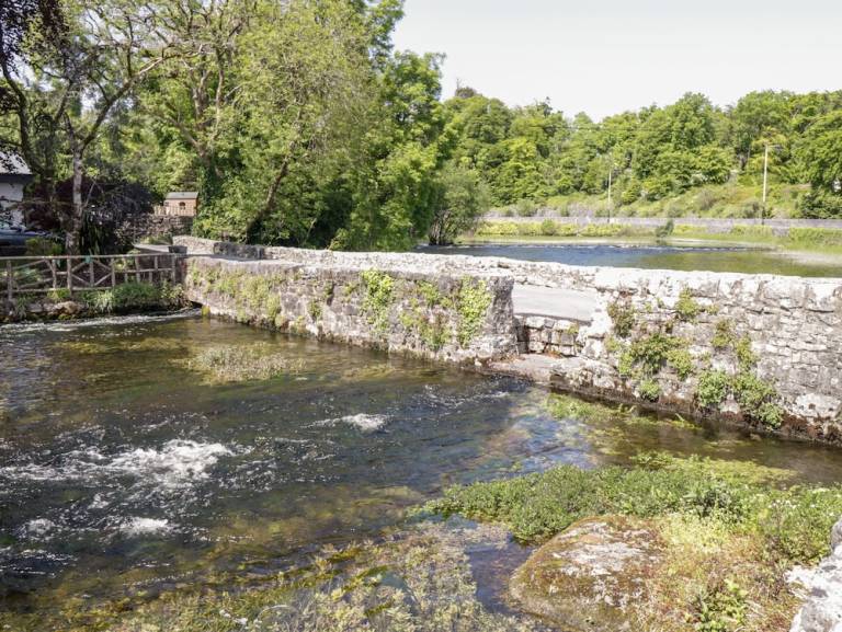
Canal, begun 1849; under construction 1852; aborted 1856; extant 1894, with retaining wall having tooled cut-limestone coping.
A canal identified as an integral component of the mid nineteenth-century civil engineering heritage of south County Mayo on account of the connections with the county-wide programme of famine relief drainage works completed under the Drainage (Ireland) Act, 1846.
This does not grant access. Most recorded buildings are privately owned; view them only from public ground unless the owner allows entry.
Places near here
 bridgebridge · 79 yd
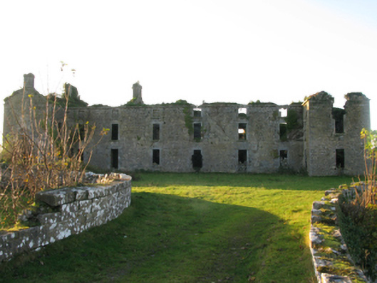 Ballinrobe Cavalry Barracksbarracks · 112 yd
 CastleCastle, unclassified · 142 yd
 European ashEuropean ash · 404 yd
 Enclosure in CornaroyaEnclosure · 423 yd
 RathkellyFairy fort / earthen ringfort · 440 yd
 LabbadermotCave · 1.7 mi
 Castle in ruinsCastle, tower house · 2.2 mi
 Castle Hag RockIslet · 2.8 mi
 Long IslandIslet · 3.0 mi
 SycamoreSycamore · 3.3 mi
 Black RocksNamed rock · 4.3 mi
Other information
Photo: National Inventory of Architectural Heritage · Website use allowed for educational or private purposes with source credit