What is recorded here
Indicated is a fairy fort in County Mayo, Ireland. The earthen ring stands on a low ridge above wet land near Lough Conn, marked by hazel, blackthorn and brambles. It is the kind of place people may have avoided at dusk, not from proof but from the feeling that the circle was already occupied.
In pasture, located on a low N–S ridge, providing fine views to W over an expanse of flat wet land bordering the E shoreline of Lough Conn, which is 300m to W.
Slightly raised circular area (diam. 19m E–W) defined by an earthen bank (Wth 2.6m at SE, 3.4m at NW; int. H 0.4m at SE, 0.6m at NW; ext. H 1.3m). A stone kerb is evident on the internal face of the bank. A gap (Wth 2.6m) in the bank at E may be the location of the original entrance.
The bank is ringed with hazel, blackthorn and brambles; a thicket of brambles obscures the N half of the interior. At S an E–W field bank abuts the external face of the bank. A post and wire fence lies immediately outside the bank at E and N, and conifer trees line the fence on the N side.
Compiled by: Jane O’Shaughnessy
Date of upload: 1 April 2020
The monument record does not grant public access. Check the route and ask the landowner before entering private land.
- What survives
- Recorded monument
Places near here
 Cloghans CastleCastle, tower house · 352 yd
 IndicatedFairy fort / earthen ringfort · 1182 yd
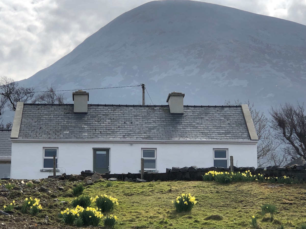 TempleancloghanChurch · 1423 yd
 Enclosure in LisduvogeEnclosure · 1592 yd
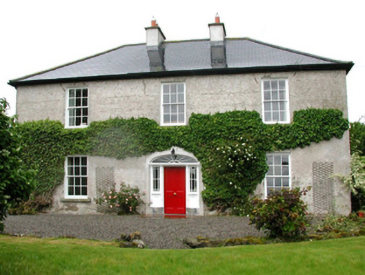 Barnfield Housefarm house · 1.5 mi
 Gull IslandIslet · 1.8 mi
 Castle (in ruins)Castle, unclassified · 2.0 mi
 Roe IslandIslet · 3.0 mi
 Titanic Memorial ParkMemorial · 4.7 mi
 Battle of Ballinabattle · 4.8 miHumbert MonumentMemorial · 5.0 mi
 Lough CullinViewpoint · 5.0 mi