What is recorded here
Three stone circles and alignments mark Formil in County Fermanagh, preserving a prehistoric landscape where distance and direction may have mattered more than height. The stones still stand inside a scheduled ancient setting, inviting people to walk the line they drew rather than decide what the line means.
The official Northern Ireland record identifies this as THREE STONE CIRCLES & ALIGNMENTS. Recorded period: PREHISTORIC. Recorded protection: Scheduled. The official map point was placed at the centre of the recorded archaeological site from the source map reference.
Three stone circles and alignments in Formil are likely from the Late Neolithic or Bronze Age, periods when such monuments were commonly constructed for ceremonial, astronomical, or social purposes. Their alignment may have had ritual significance or marked seasonal events, though specific folklore or use remains unrecorded.
The monument record does not grant public access. Check the route and ask the landowner before entering private land.
- What survives
- Recorded monument
Places near here
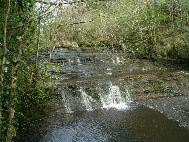 Drummoney WaterfallWaterfall · 1032 yd
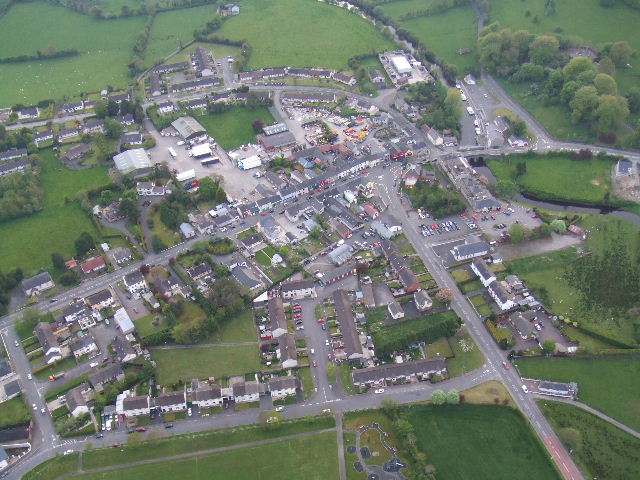 Kesh ForestForest · 1273 yd
 AP Cropmark- Possible rath/ circular enclosure in AghahannaghAP Cropmark- Possible rath/ circular enclosure · 1.5 mi
 RECTANGULAR ENCLOSURE in GreaghmoreRECTANGULAR ENCLOSURE · 1.6 mi
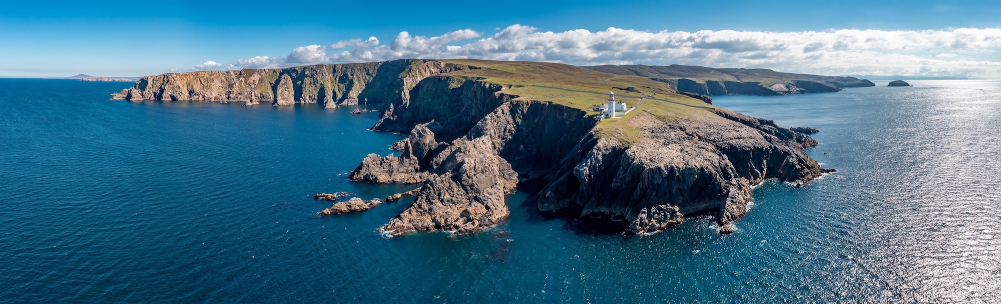 Macart IslandIslet · 2.0 mi
 Physicberry IslandIslet · 2.1 mi
 Iniscilin Bridgebridge · 2.1 mi
 Lurganboy Bridgebridge · 2.2 mi
 Dooraa HillMountain / peak · 2.3 mi
 Crevenish CastleHeritage attraction · 3.1 mi
 Drumharriff WoodForest recreation place · 3.2 mi
 Drumskinny Stone CircleHeritage attraction · 3.3 mi