What is recorded here
Indicated is a broken fairy fort on a steep Kildare slope, its eastern half still marked by an overgrown earthen bank and faint outer ditch. A road and driveway cut through the west, reducing the original thirty-two-metre circle to a truncated reminder. The interior is now lawned and hedged, turning an ancient defensive ring into a quiet garden edge where human ownership has replaced older uncertainty.
On a moderately steep SW-facing pasture slope. The E-half of an originally circular area (diam. 32m N-S) is defined by an overgrown earthen bank (int. H 0.6m; Wth 4.6m; ext H 1.2m) N-E-SSE, with traces of a shallow outer fosse (D 0.4m; Wth 3m) surviving at NE and SE. The monument is truncated NE-SW by a road and by a broad driveway at S. The interior is lawned and hedged.
Compiled by: Gearóid Conroy
Date of upload: 08 October 2013
The monument record does not grant public access. Check the route and ask the landowner before entering private land.
- What survives
- Recorded monument
Places near here
 Font in Fontstown LowerFont · 503 yd
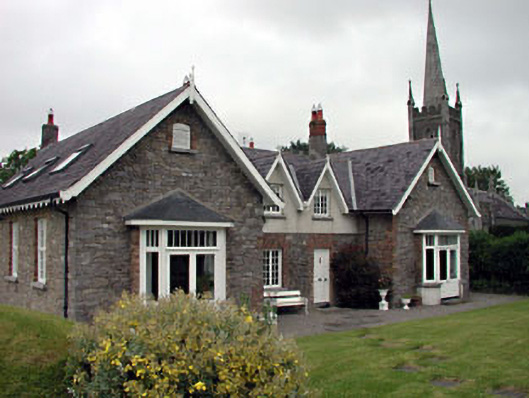 Old School Houseschool · 948 yd
 Church of Saint John the Evangelist Fontstown)church/chapel · 991 yd
 Enclosure in YoungstownEnclosure · 1181 yd
 CastleCastle, unclassified · 1351 yd
 Battle of Kilrushbattle · 1.6 mi
 Ardscull MoatCastle, motte · 1.8 mi
 History of Moat of ArdscullVisitor information · 1.9 mi
 Gorden Bennet Race memorialMemorial · 1.9 mi
 European BeechEuropean Beech · 1.9 mi
 Narraghmore WoodWood · 2.5 mi
 1798 memorialMemorial · 5.4 mi