What is recorded here
The first surviving series of enclosures in Fontstown Lower is also the first place where human life becomes visible. That change is not decoration. It is the difference between an empty region and a place where people lived, worked and left behind what could be seen.
Shown on a 1764 ‘Map of Upper Fonts Town’ by B. Scale (JKAS 1970, 477) as the E half of a circular enclosure, and named ‘Danesfort’. Shown again on a slightly later map (1773) by Scale (NLI 21. F. 11) as a double banked rectangular enclosure, with the W limits defined by a later field boundary, and again named ‘Danesfort’. The later depiction as rectangular may reflect the modification and use of a ringfort as a field/paddock? No visible surface traces survive.
Compiled by: Gearóid Conroy
Date of upload: 07 October 2013
The monument record does not grant public access. Check the route and ask the landowner before entering private land.
- What survives
- Recorded monument
Places near here
 Font in Fontstown LowerFont · 571 yd
 Enclosure in YoungstownEnclosure · 574 yd
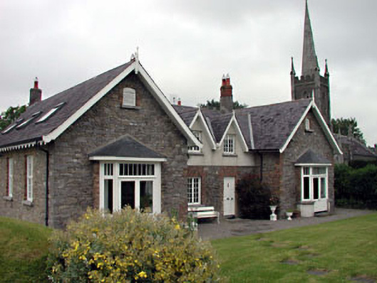 Old School Houseschool · 1068 yd
 Church of Saint John the Evangelist Fontstown)church/chapel · 1112 yd
 CastleCastle, unclassified · 1606 yd
 Battle of Kilrushbattle · 1.7 mi
 Ardscull MoatCastle, motte · 1.8 mi
 History of Moat of ArdscullVisitor information · 1.9 mi
 European BeechEuropean Beech · 1.9 mi
 Gorden Bennet Race memorialMemorial · 1.9 mi
 Narraghmore WoodWood · 2.7 mi
 1798 memorialMemorial · 5.3 mi