
What is recorded here
Fonthill in County Carlow contains a hidden subrectangular enclosure. Two concentric fosses and a substantial bank once surrounded an area roughly ninety by sixty metres, but ground-level markers have vanished. The slight southern rise and absent shadows suggest the earth forgot its own boundary.
The following description is derived from the published 'Archaeological Inventory of County Carlow' (Dublin: Stationery Office, 1993). In certain instances the entries have been revised and updated in the light of recent research.
Date of upload/revision: 17 July 2007
Aerial photograph (CUCAP BGH 35) shows subrectangular area enclosed by cropmarks of two concentric fosses and substantial bank (est max. dims. c. 90m N-S x c. 60m E-W). Viewed from S, site appears to rise very slightly but there are no other visible indications. Does not appear to be either ring-barrow or ringfort.
The monument record does not grant public access. Check the route and ask the landowner before entering private land.
- What survives
- Recorded monument
Places near here
 Enclosure in KilleeshalEnclosure · 127 yd
 Enclosure in FonthillEnclosure · 339 yd
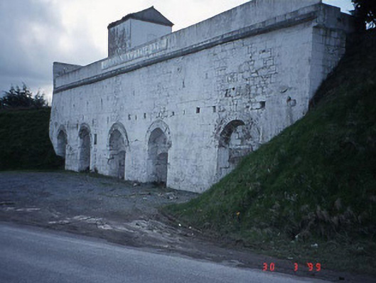 Clogrennane Lime Workskiln · 515 yd
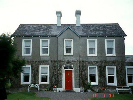 Ballinabranagh Housefarm house · 857 yd
 Church (in ruins), GraveyardChurch · 1442 yd
 Clogrenan CastleCastle, tower house · 1.2 mi
 Graveyard in Tomard Lower (3 Detached Portions)Graveyard · 1.7 mi
 Pedunculate OakPedunculate Oak · 3.0 mi
 Gallows HillMountain / peak · 3.1 mi
 Carlow CastleRuined medieval castle · 3.4 mi
 CastleCastle, Anglo-Norman masonry castle · 3.4 mi
 Carlow County MuseumMuseum · 3.5 mi
Other information
Photo: Credit not shown in the picture search · Rights wording not checked; contact us if this picture should be removed