What is recorded here
In an area of sand-dunes close to seashore at NE end of the island. When initially visited in August 1984 an irregular spread of midden material was eroding from a layer c. 1m below the then present ground level. It consisted of mixed shells with oyster, mussel and periwinkle predominating. Small quantities of burnt stone were also in evidence. On a revisit in April 2014 the midden was not visible. Some erosion had occured in this area of the island and a lot of sand had been blown up against the dune system - possibly obscuring it. (Robinson 1985, 50)
The above description is derived from the published 'Archaeological Inventory of County Galway Vol. I - West Galway'. Compiled by Paul Gosling (Dublin: Stationery Office, 1993). In certain instances the entries have been revised and updated in the light of recent research.
Revised by: Olive Alcock
Date of upload: 22 April 2014
The monument record does not grant public access. Check the route and ask the landowner before entering private land.
- What survives
- Recorded monument
Places near here
 Holy well in FínisHoly well · 888 yd
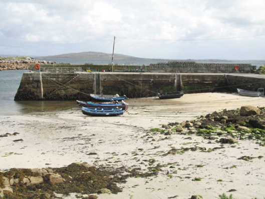 Cé an Aird Mhóir [Ardmore Quay]quay/wharf · 1.1 mi
 Cora na hAirde MóireHeadland · 1.3 mi
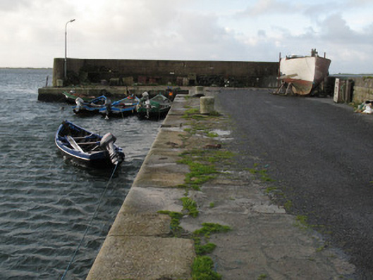 Cé Charna [Carna Quay]quay/wharf · 1.4 mi
 Bior BeagIslet · 1.4 mi
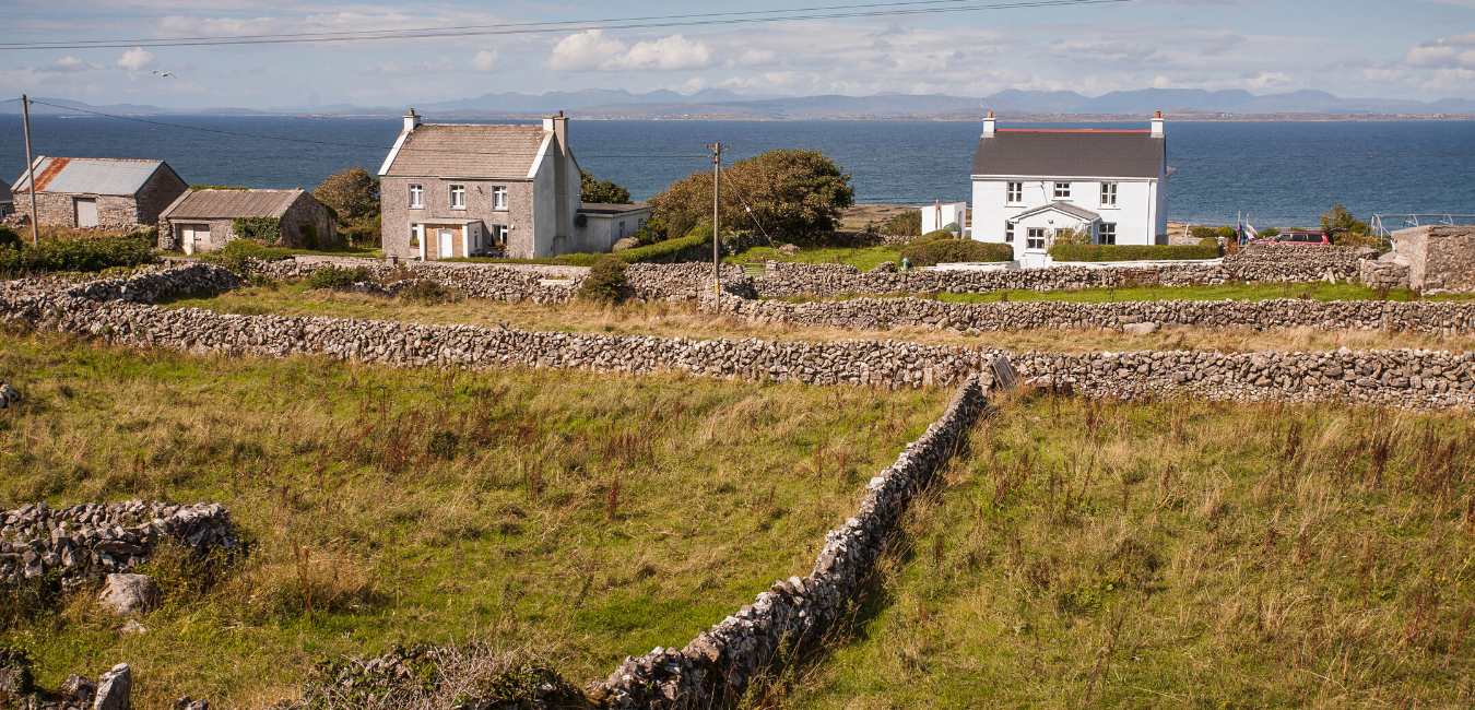 Hut site in Caladh MhaínseHut site · 1.6 mi
 Roisín an ChalaidhIslet · 1.6 mi
 Cora na gCúgHeadland · 3.1 mi
 Ard Castle (in ruins)Castle, tower house · 3.2 mi
 Knockboy ForestryForest · 3.6 mi
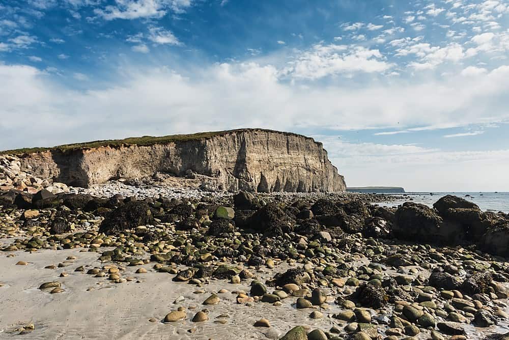 Trá na hAille MóireBeach / strand · 4.2 mi
 Trá MhaíroisBeach / strand · 4.4 mi