What is recorded here
Located in a low-lying position adjacent to the River Dolla. A castle and watermill (TN027-163004-) are marked on the Down Survey map. A possible tower house (TN027-163002-) is surrounded to the W and N by earthworks indicative of a deserted settlement, including house platforms, a sunken way and field systems. According to the landowner the earthworks extended into the field to the S but have been levelled in recent years. In an early seventeenth-century Inquisition on the property of Gerald Grace the 'castle, towne and lands of Tollowmoyline' are listed (Gleeson and Leask 1938, 214).
The above description is derived from 'The Archaeological Inventory of County Tipperary. Vol. 1 - North Tipperary' compiled by Jean Farrelly and Caimin O'Brien (Dublin: Stationery Office, 2002). In certain instances the entries have been revised and updated in the light of recent research.
Date of upload/revision: 22 September 2008
The monument record does not grant public access. Check the route and ask the landowner before entering private land.
- What survives
- Recorded monument
Places near here
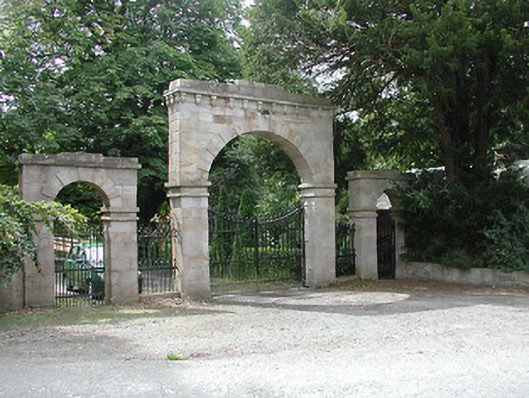 Kilboy Housedemesne walls/gates/railings · 874 yd
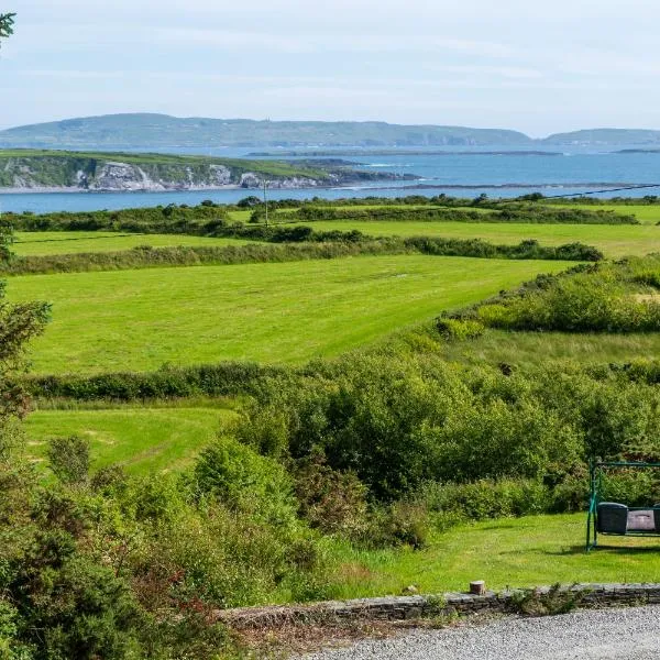 ToberanureHoly well · 906 yd
 CrossCross, High cross · 1410 yd
 Dolla Garda Síochána Stationgarda station/constabulary barracks · 1735 yd
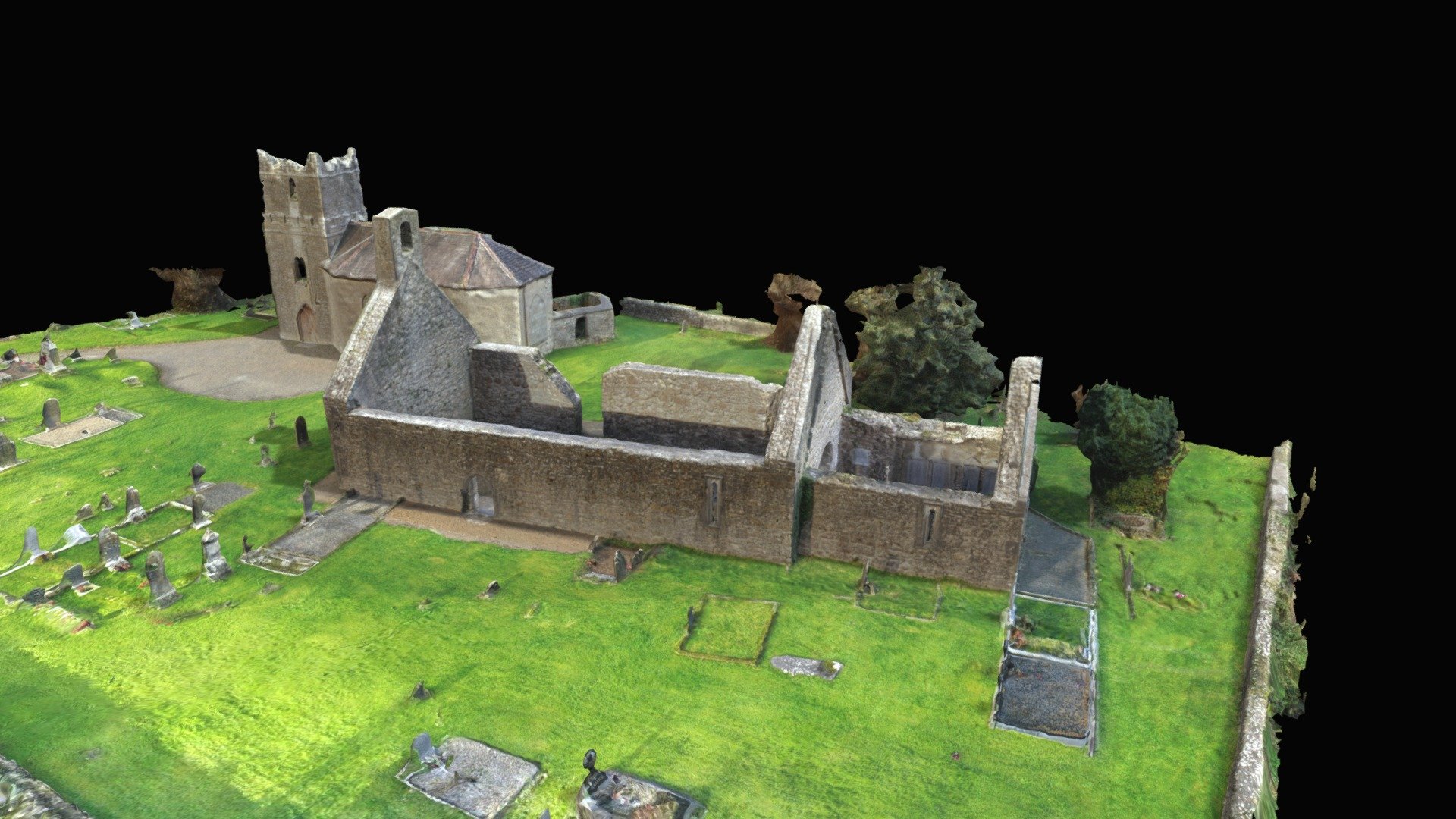 CastleCastle, Anglo-Norman masonry castle · 1.3 mi
 Monaquill Ho.Castle, unclassified · 1.6 mi
 Sweet ChestnutSweet Chestnut · 1.6 mi
 Gibbet HillMountain / peak · 1.9 mi
 Our Lady Assumed into HeavenMemorial · 2.6 mi
 The MinerMemorial · 2.6 mi
 Silvermines ViewpointViewpoint · 2.7 mi
 Cooneen HillMountain / peak · 3.5 mi