What is recorded here
At the bottom of E and S-facing slopes, c. 50-600m from the N shore of Shad Lough, and c. 300m NW of Aghclare church (RO028-101001-). An area of about 30 acres (c. 12 ha) contains small rectangular fields (dims c. 20-40m x 40m) defined by earthen banks (Wth c. 2-3.5m; H 0.1-0.3m), sometimes with slight outer ditches (Wth of base 1-1.8m), or defined by ditches alone. There are traces of a roadway (Wth 10m) defined by slight banks (Wth c. 2m) running W-E from the site of Briarfield House, c. 1 km to the W. There are no house-sites or evidence of lazy-bed cultivation within the fields, although there are lazy-beds in the surrounding area.
Compiled by: Michael Moore
Date of upload: 24 August 2010
The monument record does not grant public access. Check the route and ask the landowner before entering private land.
- What survives
- Recorded monument
Places near here
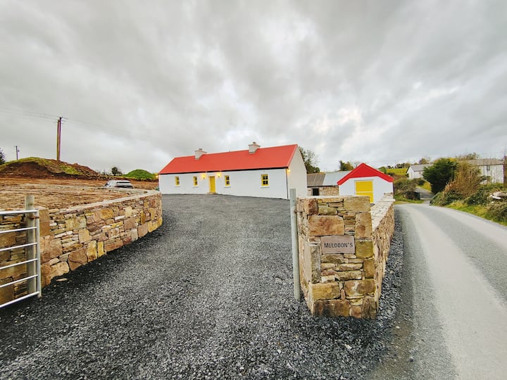 IndicatedFairy fort / earthen ringfort · 336 yd
 Aghclare ChurchChurch · 372 yd
 Penitential station in Carrowbaun (ballymoe By.)Penitential station · 456 yd
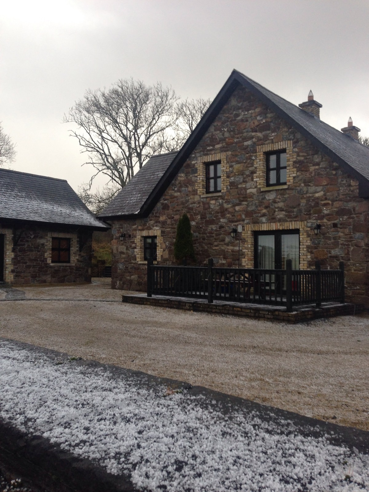 Not ineicatedCeremonial enclosure · 1434 yd
 ToberagullaSpring · 3.0 mi
 European ashEuropean ash · 3.0 mi
 Cruachan Aí Heritage CentreMuseum · 3.0 mi
 CastleCastle, unclassified · 3.1 mi
 CastlerubyCastle, unclassified · 3.6 mi
 HawthornHawthorn · 5.5 mi
 Roscommon CastleCastle · 7.4 mi
 Site of Killomaine Grave YardArchaeological place · 9.6 mi