What is recorded here
In rough peaty hill pasture, some of which is cutaway bog, on the undulating, lower, S-facing slopes of Maulin. Traces of a relict stone field boundary (T 0.4m; H 0.3m) defined by the tops of stones which protrude intermittently above the surface of the remaining bog and extend in a general NE-SW direction for a distance of c. 75m. Traces of shorter stretches of wall were noted to the W and SW of this relict field boundary. Limited field clearance has removed some of the stones.
The above description is derived from 'The Archaeological Inventory of County Cork. Volume 5' (Dublin: Stationery Office, 2009).
Date of upload: 22 December 2009
The monument record does not grant public access. Check the route and ask the landowner before entering private land.
- What survives
- Recorded monument
Places near here
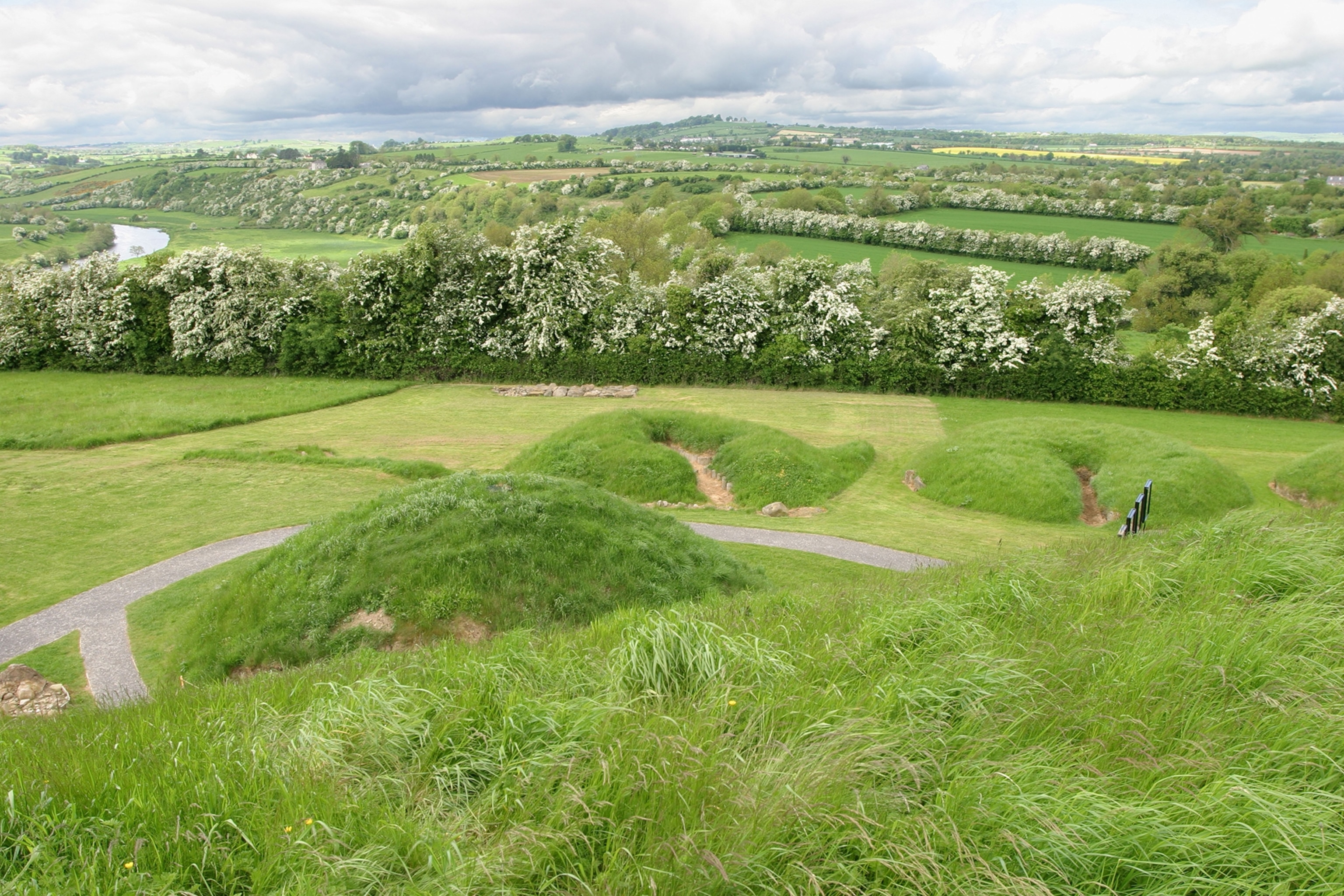 Mound in Derrymihin EastMound · 415 yd
 Field boundary in Derrymihin East,rodeenField boundary · 891 yd
 IndicatedChurch · 1.2 mi
 Eagle HillMountain / peak · 1.3 mi
 Beara WayWalking route · 1.3 mi
 Aghakista BrBridge · 1.4 mi
 Minane IslandIslet · 1.5 mi
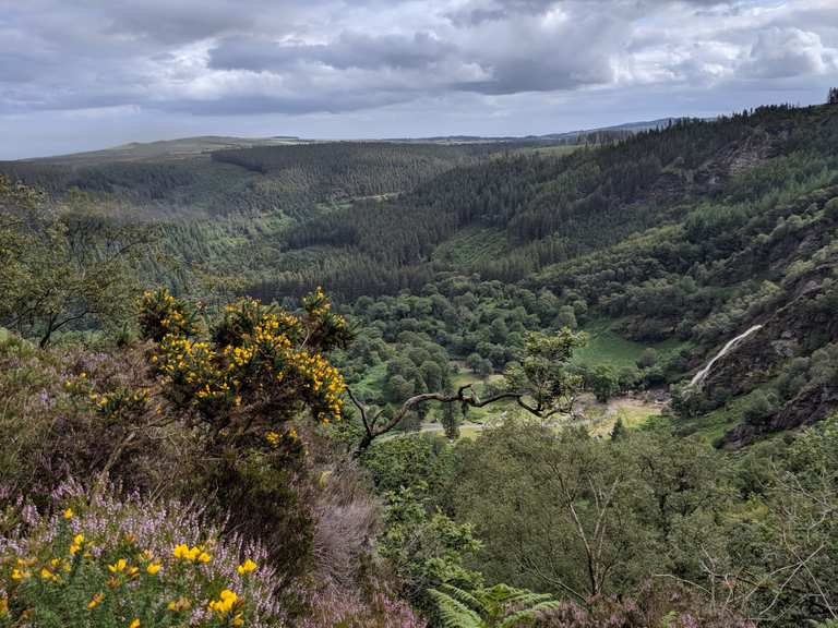 MaulinMountain / peak · 1.7 mi
 TrawnablahaBeach / strand · 1.8 mi
 Dinish IslandIslet · 1.8 mi
 Berehaven Battalion MemorialMemorial · 1.9 mi
 Sarah Walker GalleryGallery · 2.0 mi