What is recorded here
Derreenataggart East holds a broken stone line on the SE slope of Miskish Mountain, turning once before vanishing into blanket bog. The wall rises and falls with the depth of the bog, marked by gaps and stones set at right angles, as if the field itself kept changing shape. A standing stone waits thirty metres south, unexplained and patient. Whatever boundary this was, the mountain has swallowed most of it, leaving only enough to suggest that people once drew a line across the slope and the line did not hold.
In rough grazing on blanket bog, on a SE-facing slope of Miskish Mountain. A relict stone field boundary (T 0.65m; H 0.6m) abuts a modern field fence at the SW and extends (L c. 30m) in a general NE-E direction. It then turns to an E-SE direction for a further distance of c. 40m where it disappears. The height of the relict wall varies with the depth of bog. Some gaps (Wth c. 1-4m) occur along the stretch. Many of the stones are set at right angles to the line of the wall. There is a standing stone (CO115-120----) situated c. 30m to the S.
The above description is derived from 'The Archaeological Inventory of County Cork. Volume 5' (Dublin: Stationery Office, 2009).
Date of upload: 22 December 2009
The monument record does not grant public access. Check the route and ask the landowner before entering private land.
- What survives
- Recorded monument
Places near here
 Burnt mound in Derreenataggart EastBurnt mound · 235 yd
 Boulder-burial in Derreenataggart EastBoulder-burial · 269 yd
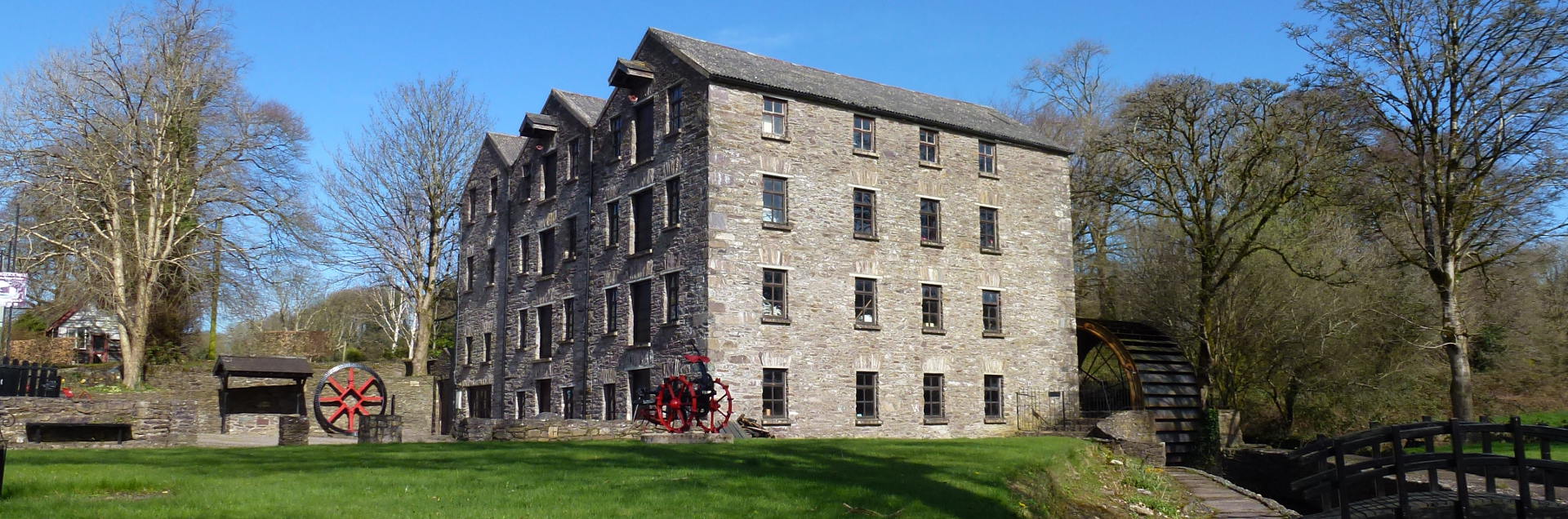 Tuck MillMill, fulling · 831 yd
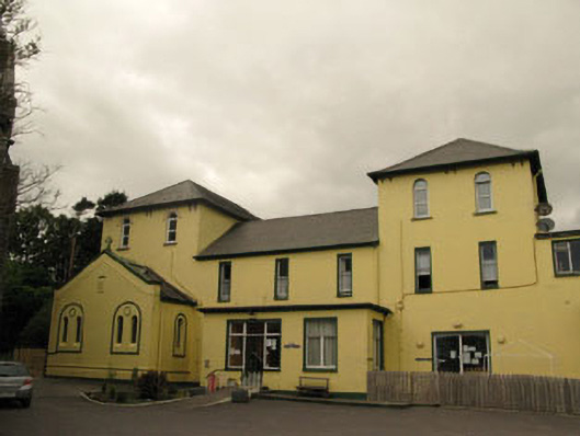 Harbour Lodgeconvent/nunnery · 1338 yd
 Berehaven Battalion MemorialMemorial · 1420 yd
 Sarah Walker GalleryGallery · 1451 yd
 Dinish IslandIslet · 1.2 mi
 Eagle HillMountain / peak · 1.4 mi
 Sheep IslandsIslet · 1.7 mi
 Miskish MountainMountain / peak · 1.7 mi
 Castle (in Ruins)Castle, tower house · 1.8 mi
 Siege of Dunboysiege · 1.9 mi