What is recorded here
An aerial photograph (GB89.AC.03) shows the cropmark of a circular enclosure (dims. c. 30m) defined by a fosse. A second curvilinear enclosure (TS070-137001-) is located immediately to the S.
Compiled by: Jean Farrelly
Date of upload: 26 August 2011
The monument record does not grant public access. Check the route and ask the landowner before entering private land.
- What survives
- Recorded monument
Places near here
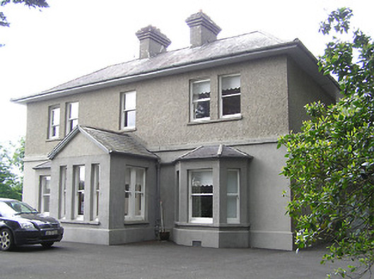 The Presbyterypresbytery/parochial/curate's house · 737 yd
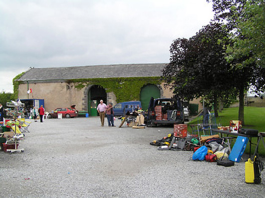 Fethard Folk Farm and Transport Museumstore/warehouse · 757 yd
 Town WallTown defences · 1151 yd
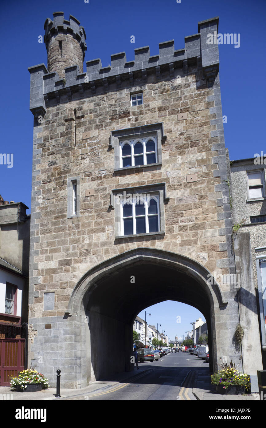 Pierce's GateArchaeological place · 1168 yd
 European YewEuropean Yew · 1253 yd
 Court CastleCastle · 1263 yd
 Edmond's CastleCastle · 1281 yd
 East GateMemorial · 1307 yd
 Kilknockan HillMountain / peak · 1517 yd
 Grove WoodForest · 1.8 mi
 CarrigdotiaMountain / peak · 4.9 mi
 bridgebridge · 841 yd
Other information
Photo: Credit not shown in the picture search · Rights wording not checked; contact us if this picture should be removed