
What is recorded here
Strongbow Island sits in County Fermanagh, a small landmass named for a man whose deeds outgrew local memory. The name suggests violence or ambition, yet the island itself may have offered only quiet water and reeds. Perhaps Strongbow passed it during a journey, dropped anchor, or lost someone beneath the surface. The sea keeps such events without warning, preserving the shape of what happened while removing the witness who could explain it.
Strongbow Island is recorded as a island in County Fermanagh. Its open map record supplies this location and any linked names or public references.
Strongbow Island is named after Richard de Clare, 2nd Earl of Pembroke, known as Strongbow, a key figure in the 12th-century Anglo-Norman invasion of Ireland. The island is notable for its historical association with medieval Irish and Norman history, though specific details about settlement or use remain sparse in historical records.
Places near here
 FORTIFICATION?: STRONGBOW'S ISLAND in Strongbow IslandFORTIFICATION?: STRONGBOW'S ISLAND · 18 yd
 Crevinishaughy islandIsland · 757 yd
 Creefin IslandIsland · 1393 yd
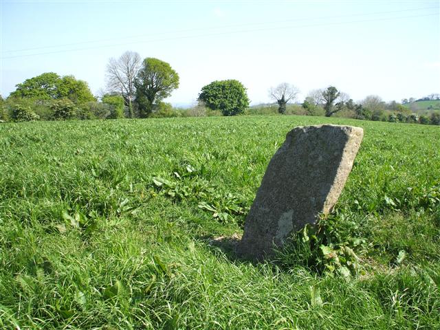 STANDING STONE in ClareviewSTANDING STONE · 1428 yd
 Crevenish CastleHeritage attraction · 1.3 mi
 WW2 ammunitions store (part of RAF Castle Archdale) in RossmoreWW2 ammunitions store (part of RAF Castle Archdale) · 1.4 mi
 RAF Castle Archdale Flying Boat Dock: DHR 00214:001 in RossmoreRAF Castle Archdale Flying Boat Dock: DHR 00214:001 · 1.4 mi
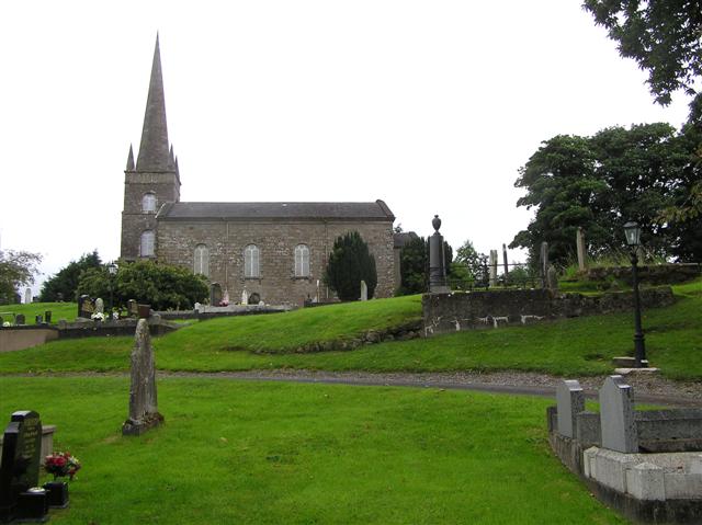 CHURCH (unlocated) in BallymacataggartCHURCH (unlocated) · 1.6 mi
 St. Patrick's ChurchChurch · 2.3 mi
 Dooraa HillMountain / peak · 3.5 mi
 Boa IslandIsland · 3.9 mi
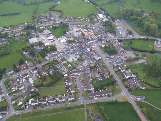 Kesh ForestForest · 4.0 mi
Other information
Photo: Credit not shown in the picture search · Rights wording not checked; contact us if this picture should be removed