
What is recorded here
The fairy fort or earthen ringfort in Fearmore (moygoish By.) is in County Westmeath, Ireland. Situated atop a natural rise of ground with good views in all directions, the site was annotated as Feremore Fort on the 1837 Ordnance Survey Fair Plan map and partially depicted on the 1837 edition of the Ordnance Survey six-inch map. A slight rise in the ground is visible defining a circular shaped area approximately forty metres on a north-east to south-west axis by thirty-seven metres on a south-east to north-west axis, which appears to represent the levelled enclosing element of the ringfort, although no surface remains were visible during the inspection.
Situated atop a natural rise of ground with good views in all directions. Annotated 'Feremore Fort' on the 1837 Ordnance Survey Fair Plan map but nor depicted on any edition of the OS 6-inch maps. Possible ringfort site partially depicted on the 1837 ed. OS 6-inch map, a trig. station marking the OD 257 ft. appears to have been located in the centre of this ringfort. No surface remains visible of levelled ringfort. The field has been ploughed in the past. A slight rise in the ground is visible defining a circular shaped area (approx. dims. 40m NE-SW x 37m SE-NW) which appears to represent the levelled enclosing element of the ringfort. Barely visible outline of levelled ringfort visible today on Digital Globe aerial photograph.
Compiled by: Caimin O'Brien
Date of upload: 23 January 2020
The monument record does not grant public access. Check the route and ask the landowner before entering private land.
- What survives
- Recorded monument
Places near here
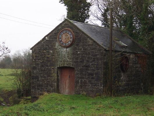 mill (water)mill (water) · 1042 yd
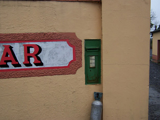 post boxpost box · 1046 yd
 MoatCastle, motte and bailey · 1290 yd
 Hut site in CoolnagunHut site · 1.3 mi
 Partially hachuredFairy fort / earthen ringfort · 1.7 mi
 Coolamber CastleHouse, fortified house · 1.8 mi
 Silver FirSilver Fir · 3.5 mi
 Sweet ChestnutSweet Chestnut · 4.4 mi
 Bridge Memorial (Kenna)Memorial · 5.1 mi
 Granard MotteMotte-and-bailey castle remains · 6.4 mi
 1798 Monumentmonument · 6.5 mi
 CarrickMountain / peak · 8.2 mi
Other information
Photo: Credit not shown in the picture search · Rights wording not checked; contact us if this picture should be removed