What is recorded here
Fairy fort in Faughart Lower is a D-shaped earthen ringfort with a degraded bank and faint drystone facings, preserved enough to show its shape but worn enough to hide its makers. It may have been a home, a boundary marker, or a place where people performed rituals before forgetting the words. The straight SE edge suggests human planning rather than random earthwork, while the missing ENE and SSE sections remind us that time reclaims what pride believes it owns.
The following description is derived from both the published 'Archaeological Inventory of County Louth' (Dublin: Stationery Office, 1986) and the 'Archaeological Survey of County Louth' (Dublin: Stationery Office, 1991). In certain instances the entries have been revised and updated in the light of recent research.
Date of upload/revision: 17 July 2007
D-shaped area (int. dims. 28.5m NNE-SSW, 26m WNW-ESE) enclosed by much-degraded earth and stone bank (Wth 3.5m, H 0.7m internally, 1.4m externally) with straight side at SE. This bank is now almost completely gone on ENE and SSE. Traces of internal and external drystone facings to bank on all sides. (CUCAP, AYM 46)
The monument record does not grant public access. Check the route and ask the landowner before entering private land.
- What survives
- Recorded monument
Places near here
 Enclosure in Faughart LowerEnclosure · 207 yd
 Battle of FaughartMajor battlefield · 317 yd
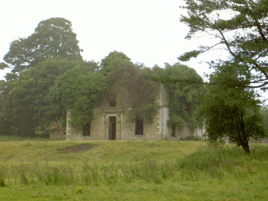 Woodlawnhouse · 553 yd
 Enclosure in Faughart UpperEnclosure · 780 yd
 Church (in ruins)Church · 969 yd
 Faughart MoundCastle, motte · 1016 yd
 Raskeagh FortCastle, motte and bailey · 1.1 mi
 MonascreebeMountain / peak · 1.4 mi
 SlievenaboleaMountain / peak · 1.6 mi
 Proleek DolmenArchaeological place · 1.7 mi
 Moyry CastleCastle · 1.8 mi
 KILNASAGGART INSCRIBED PILLAR STONE & CEMETERY with 6 CROSS-CARVED STONES: CELL NA SACART in EdenappaKILNASAGGART INSCRIBED PILLAR STONE & CEMETERY with 6 CROSS-CARVED STONES: CELL NA SACART · 2.0 mi