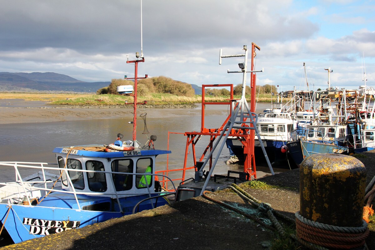
What is recorded here
The following description is derived from both the published 'Archaeological Inventory of County Louth' (Dublin: Stationery Office, 1986) and the 'Archaeological Survey of County Louth' (Dublin: Stationery Office, 1991). In certain instances the entries have been revised and updated in the light of recent research.
Date of upload/revision: 17 July 2007
Cropmark ring defining circular enclosure (max. diam. c. 46m) on aerial photograph (CUCAP, BGL 44).
The monument record does not grant public access. Check the route and ask the landowner before entering private land.
- What survives
- Recorded monument
Places near here
 Church (in ruins)Church · 218 yd
 Grave YardGraveyard · 235 yd
 St Brigids WellHoly well · 243 yd
 Faughart MoundCastle, motte · 350 yd
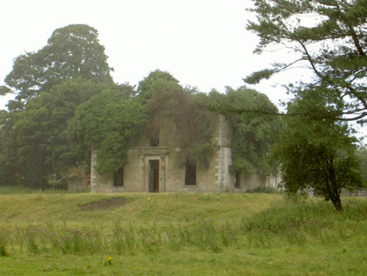 Woodlawnhouse · 357 yd
 Battle of FaughartMajor battlefield · 804 yd
 MonascreebeMountain / peak · 1.2 mi
 Raskeagh FortCastle, motte and bailey · 1.2 mi
 SlievenaboleaMountain / peak · 1.3 mi
 Moyry CastleCastle · 1.4 mi
 KILNASAGGART INSCRIBED PILLAR STONE & CEMETERY with 6 CROSS-CARVED STONES: CELL NA SACART in EdenappaKILNASAGGART INSCRIBED PILLAR STONE & CEMETERY with 6 CROSS-CARVED STONES: CELL NA SACART · 1.6 mi
 Proleek DolmenArchaeological place · 1.7 mi
Other information
Photo: Credit not shown in the picture search · Rights wording not checked; contact us if this picture should be removed