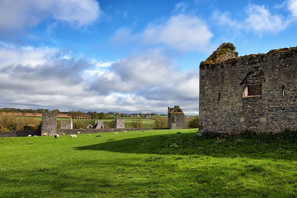
What is recorded here
Partially hachured is a fairy fort or earthen ringfort in Farrannamoreen, Cartronkeel (kilkenny West By.), County Westmeath, Ireland. Described in 1971 and 1976 as a bivallate ringfort on a gentle south-facing slope, it forms an oval-shaped area measuring 39 metres east-west and 27 metres north-south. The monument is enclosed by an inner bank that is quite low and almost reduced to a scarp, an intervening wide and shallow fosse, and a low, wide outer bank. The outer bank is overlain by a post-1700 field bank on the south and west, while the interior has a gentle northwest-facing slope with wide shallow depressions and low rises.
Situated on a gentle S-facing slope, with good views to N, E and S, overlooked by gently rising ground to W. Bivallate ringfort described in 1971 and 1976 as an oval-shaped area (dims. 39m E-W; 27m N-S) enclosed by an inner bank, an intervening fosse and an outer bank. The inner bank is quite low and almost reduced to a scarp. The intervening fosse is wide and shallow. The outer bank is low and wide and it is overlain by a post-1700 field bank at S and W. There is no obvious entrance feature. The interior has a gentle NW-facing slope and is quite uneven with wide shallow depressions & low rises. The enclosing element of the monument from SSE-S-W-NNW represents the townland boundary with Farrannamoreen.
Compiled by: Alison McQueen, Vera Rahilly and Caimin O’Brien
Date of upload: 16 July 2019
The monument record does not grant public access. Check the route and ask the landowner before entering private land.
- What survives
- Recorded monument
Places near here
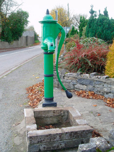 water pumpwater pump · 927 yd
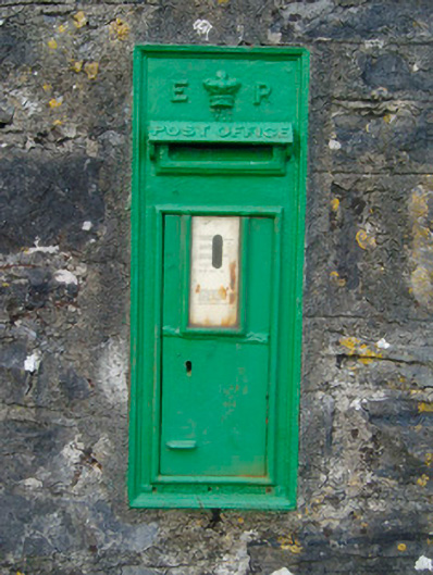 post boxpost box · 936 yd
 Enclosure in Tullaghan (kilkenny West By.)Enclosure · 1309 yd
 Bunown CastleCastle · 1655 yd
 Ballynakill CastleCastle · 1.0 mi
 IndicatedCrannog · 1.1 mi
 Killinure BayBay · 1.9 mi
 Temple's IslandIslet · 2.3 mi
 Traveen BayBay · 2.4 mi
 HareislandIslet · 3.3 mi
Other information
Photo: Credit not shown in the picture search · Rights wording not checked; contact us if this picture should be removed