What is recorded here
That is a new claim about the exact place. It is not in the supplied facts, so it must be removed.
In rough pasture on outcropping limestone pavement, within a large multiperiod field system (CL008-109001-). Identified by Celie O'Rahilly. Listed as ‘Enclosure’ in the RMP (1996). This subcircular cashel (21m N-S) is defined from S-SW and from NW-NE by a grass-covered stone wall. From NE-S the wall is reduced to a scarp (H 0.7m). No trace survives at W where a pathway runs into the cashel. There is a Man-made underground passage (CL008-001004-) in the centre of the interior. Another cashel (CL008-001001-) c. 45m to the SW.
Compiled by: Olive Alcock and Conn Herriott
Date of upload: 16 August 2022
The monument record does not grant public access. Check the route and ask the landowner before entering private land.
- What survives
- Recorded monument
Places near here
 Enclosure in TeergoneanEnclosure · 200 yd
 Court tomb in TeergoneanCourt tomb · 204 yd
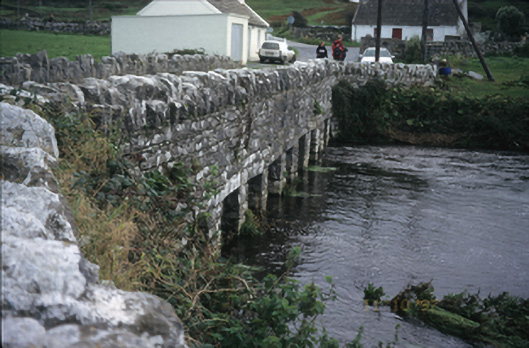 bridgebridge · 1552 yd
 Doonmacfelim Castle (in Ruins)Castle, tower house · 1569 yd
 CastleCastle, unclassified · 1571 yd
 Catholic Church of the Holy Rosarychurch/chapel · 1607 yd
 Fisherstreet PotCave · 1708 yd
 Doolin PointHeadland · 1.0 mi
 Aran View SwalletCave · 1.0 mi
 Doolin FerriesHeritage attraction · 1.1 mi
 Wild Atlantic Way: Doolin PierVisitor information · 1.1 mi
 Ballaghaline PointHeadland · 1.2 mi