What is recorded here
Fairy fort in Lomaunaghbaun is an oval cashel on a south-facing ridge in County Galway, now reduced to a low grassed wall and quarried gaps where a shed took stones. What remains hints at a divided interior and a hollow beneath the turf, maybe a passage or merely a trench for modern convenience. The site has given up much of its shape, yet the surviving curve still suggests a place set apart, perhaps feared, perhaps loved, before human wants chewed it in half.
On S-facing slope of a ridge in undulating grassland. Very poorly preserved oval cashel (E-W 32m, N-S 23.7m) defined by a low grassed-over dry stone wall. No visible surface trace of the enclosing wall survives from W to N due to quarrying and the construction of a shed. Gaps at N and S appear modern. In NE portion of the interior, a low grassed-over drystone wall, running NE-SW, possibly marks an internal division. To W of it is a quarried out area, L-shaped in plan (E-W 6.4m, N-S 5.8m), possibly a Man-made underground passage but more likely an excavation trench for the nearby shed.
The above description is derived from the published 'Archaeological Inventory of County Galway Vol. II - North Galway'. Compiled by Olive Alcock, Kathy de hÓra and Paul Gosling (Dublin: Stationery Office, 1999).
Date of upload: 05 August 2010
The monument record does not grant public access. Check the route and ask the landowner before entering private land.
- What survives
- Recorded monument
Places near here
 Rampark FortFairy fort / earthen ringfort · 467 yd
 Man-made underground passage in Claddagh WestMan-made underground passage · 620 yd
 Claddagh Castle (in ruins)Castle, tower house · 1073 yd
 Catholic Church of Our Lady and Saint Jarlathchurch/chapel · 1.3 mi
 Church (in Ruins)Church · 1.4 mi
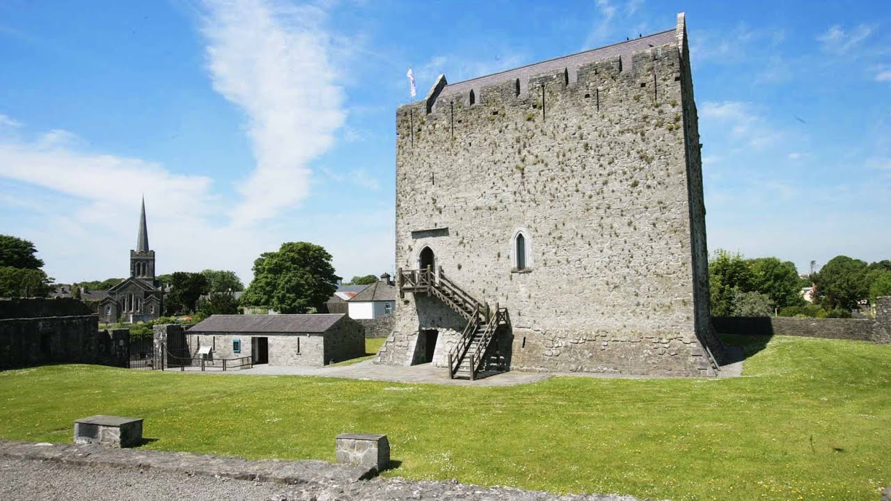 Lerhin CastleCastle · 3.8 mi
 HawthornHawthorn · 6.9 mi
 European ashEuropean ash · 7.3 mi
 Knockmoy AbbeyHeritage attraction · 7.8 mi
 Mass RockNamed rock · 9.2 mi
 Menlough IRAMemorial · 11 mi
 Enclosure in Claddagh WestEnclosure · 1066 yd