What is recorded here
Kilfenora’s broken stone ring holds a wide hollow where grass and forgotten walls mix. It is no longer a complete fort, yet its broad curve and hidden inner chambers still shape the land. People may have lived there before the stones fell, but the place keeps that time locked inside its quiet ruin.
On a gentle rise in low-lying overgrown karst and uncleared marshy pasture. Overlooked by higher ground to the S with dense overgrown scrub and brambles to the E. A low, flat fertile area, potentially a dried up lake-bed to the S is partly defined by a scarp (H 2m). Hachured on the 1840 and 1916 eds. of the OS 6-inch map. Described by Westropp (1915, 264) as ‘greatly overturned’ with the remains of the outer facing to the S and W and a ‘featureless’ interior.
A subcircular area (diam. 31m SW-NE) defined by a poorly preserved and almost totally collapsed and grassed-over stone wall (Wth. 7m; max H. 4m) of rectangular limestone blocks with a rubble core. One course of an outer face is intermittently visible. There are several gaps but no definite entrances.
The undulating interior is slightly lower than the field level and contains coarse pasture and limestone outcrops. Upright limestones and collapsed grassed-over walls (Wth 1m; H 0.25m) form two subrectangular enclosures (CL016-018001- and CL016-018002-) in the interior. A mostly removed stone field wall at the N, outside of the ringfort-cashel gives the false impression of an outer wall and a rectangular enclosure to the E (13m E-W; 10m N-S) is a modern paddock. Another cashel (CL016-019001-) is located c. 88m to the ESE.
Compiled by: Mary Tunney and Lynda McCormack
Date of upload: 14 March 2022
A low, circular stone bank and internal ditch, typical of an early-medieval ringfort, likely dating to between the 5th and 10th centuries. Locally known as a fairy fort, it is associated with folklore about the Aos Sí, with tales of hidden fairy folk and warnings against disturbing the site.
The monument record does not grant public access. Check the route and ask the landowner before entering private land.
- What survives
- Recorded monument
Places near here
 Enclosure in KilfenoraEnclosure · 386 yd
 High CrossHeritage attraction · 408 yd
 CrossCross, High cross · 414 yd
 Burren Centre KilfenoraVisitor information · 428 yd
 Saint Fachtnan's Cathedralcathedral · 432 yd
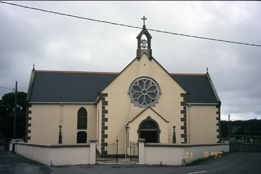 Saint Fachanan's Catholic Churchchurch/chapel · 603 yd
 CashlaunawoggaCastle, tower house · 799 yd
 Caherminnaun Castle (in ruins)Castle, unclassified · 1338 yd
 Ballyteigue Nature ReserveNature reserve · 3.2 mi
 Cahermacnaghten CashelHeritage attraction · 3.8 mi
 Cullaun 5 (C5b)Cave · 4.2 mi
 Fergus River CaveCave · 4.2 mi