What is recorded here
On a W-facing slope in gently undulating grassland. Named on OS Fair Plan as 'Connells Fort' and marked on 1st ed. of OS 6-inch map as an oval enclosure (c. 50m by c. 35m). No visible surface trace survives.
The above description is derived from the published 'Archaeological Inventory of County Galway Vol. II - North Galway'. Compiled by Olive Alcock, Kathy de hÓra and Paul Gosling (Dublin: Stationery Office, 1999).
Date of upload: 05 August 2010
The monument record does not grant public access. Check the route and ask the landowner before entering private land.
- What survives
- Recorded monument
Places near here
 Connells FortArchaeological place · 2 yd
 CaherFairy fort / stone ringfort · 470 yd
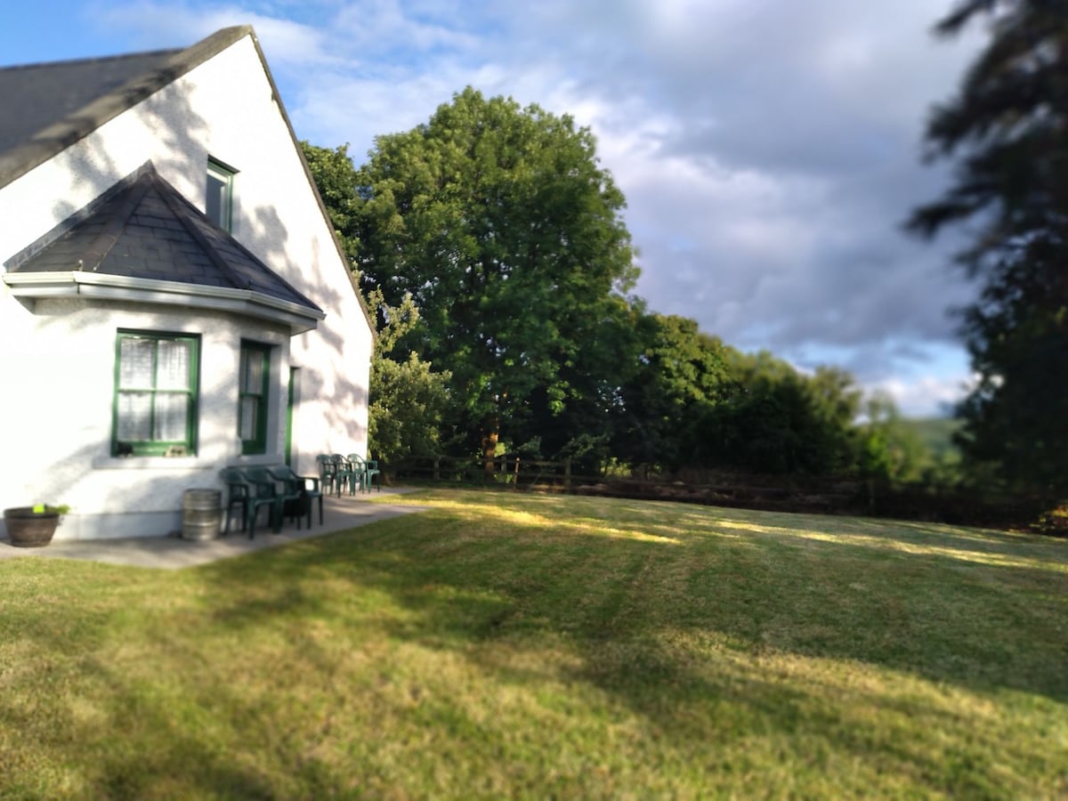 Country house in Barnaboy (headford By.)Country house · 973 yd
 Donaghpatrick Church in ruinsChurch · 1174 yd
 Castle Hacket (in ruins)Castle, hall-house · 2.3 mi
 KnockmaaWood · 2.4 mi
 Bawn in ArdrumkillaBawn · 2.5 mi
 Kilcoona Round TowerHeritage attraction · 2.5 mi
 Pesooge PlantationForest · 4.4 mi
 Ross Errilly FriaryHeritage attraction · 4.5 mi
 Ballinduff BayBay · 4.9 mi
 Mass RockNamed rock · 4.9 mi