What is recorded here
Fairy forts are usually small, but this is a huge cashel, 51 metres across, large enough to hold a whole neighbourhood rather than a single household. The double-faced wall still stands highest at the southwest, where extra stone steps were built to keep it upright on the sloping ground. A small sheepfold clings to the inner wall, suggesting the enclosure kept both people and animals long after its original purpose faded. The upright slabs set inside the wall core mark the boundary between human memory and fairy ambiguity.
On level ground in rough pasture and limestone pavement, within a local relict field system (CL009-004001-) and a larger multiperiod field system (CL008-109001-). Hachured on the 1842 and 1920 eds. of the OS 6-inch map. Listed as 'Enclosure' in the RMP (1996). This large subcircular cashel (int. dims. 51m NE-SW; 42m NW-SE) is defined by a double-faced drystone wall with a rubble core. It is best preserved at SW where both wall-faces (Wth 1.75m; int. H 0.55m; ext. H 1.3m) survive. Two further step/terrace-like revetments (inner step Wth 0.5m; outer step Wth 1.85m) built against the outer wall-face of this section of the wall may have been added to provide additional support for the wall where the natural slope of the land is steeper. From SW-N a later field wall overlies the outer face of the wall (Wth 2.5-3.2m; int. H 0.15m; ext. H 0.35m), while from N-NE a later, now collapsed, wall overlies it and a small area outside it. From NE-S the outer wall-face (max. ext. H 1m) is visible intermittently; inside it only wall collapse (Wth 3-4m) can be seen. At WSW there is a large upright slab within the wall core, aligned E-W, while at ESE another large upright stone (H 0.9m) is also set within the wall. The interior is partly overgrown and slopes gently to the SW. An enclosure (10.9m NE-SW; 8.2m NW-SE), which is outlined and labelled ‘Sheepfold’ on the 1897 OS 25-inch plan, is built against the inner wall-face at NW. It is defined by a curving grassed-over collapsed stone wall (Wth 1m; H 0.3m) with intermittent wall-facing and an entrance gap (Wth 1.1m) at SE. An area of loose stone rubble and some limestone slabs is visible in the E sector. (Westropp 1905, 357)
The following images have been uploaded:
CL008-006----_01 View from S
CL008-006----_02 Aerial view from WNW
Compiled by: Olive Alcock and Conn Herriott
Date of upload: 18 August 2022
The monument record does not grant public access. Check the route and ask the landowner before entering private land.
- What survives
- Recorded monument
Places near here
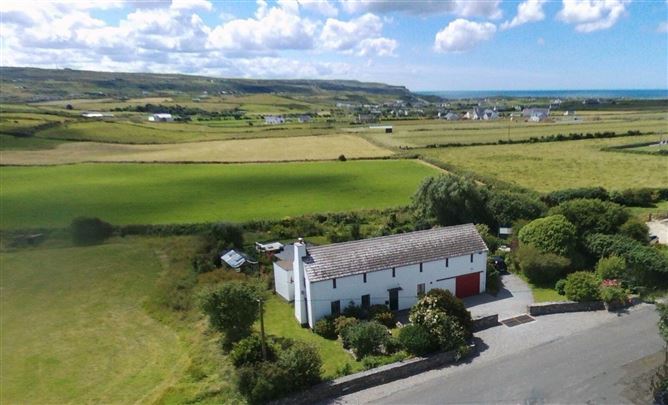 Enclosure in Ballyvoe (corcomroe By.)Enclosure · 402 yd
 Enclosure in Glasha BegEnclosure · 460 yd
 Catholic Church of the Holy Rosarychurch/chapel · 1413 yd
 CastleCastle, unclassified · 1440 yd
 Aran View SwalletCave · 1495 yd
 Roadford Bridgebridge · 1.1 mi
 Doonmacfelim Castle (in Ruins)Castle, tower house · 1.3 mi
 Fisherstreet PotCave · 1.3 mi
 Doolin PointHeadland · 1.5 mi
 Doolin Cave Visitor CentreHeritage attraction · 1.6 mi
 Doolin FerriesHeritage attraction · 1.6 mi
 Wild Atlantic Way: Doolin PierVisitor information · 1.6 mi