What is recorded here
Marianne and her shadow still circle the ivy-choked ring in Ballyogan, proving the fort never stopped belonging to them. The SW slope tilts inward like a chamber waiting to breathe, while the stone spread holds its shape beneath pasture and time. What looks dead is only patient, saving its heat for the hands that remember how to touch it.
On the SW-facing slope of a hill in pasture. Hachured on the 1840 OS 6-inch map as a circular enclosure with only the NE showing hachures on the 1920 edition. A circular overgrown area (int. diam. 26m NW-SE) planted with trees and defined by an ivy-covered stone spread (Wth 3-4.4m; int. H 0.6-1.3m; ext. H 0.2-1m), which has a stone wall built on it from S to NE. The interior slopes markedly to the S. Field clearance rubble is piled along the outer edge in the N half.
Compiled by: Michael Moore and Mary Tunney
Date of upload: 17 November 2025
The monument record does not grant public access. Check the route and ask the landowner before entering private land.
- What survives
- Recorded monument
Places near here
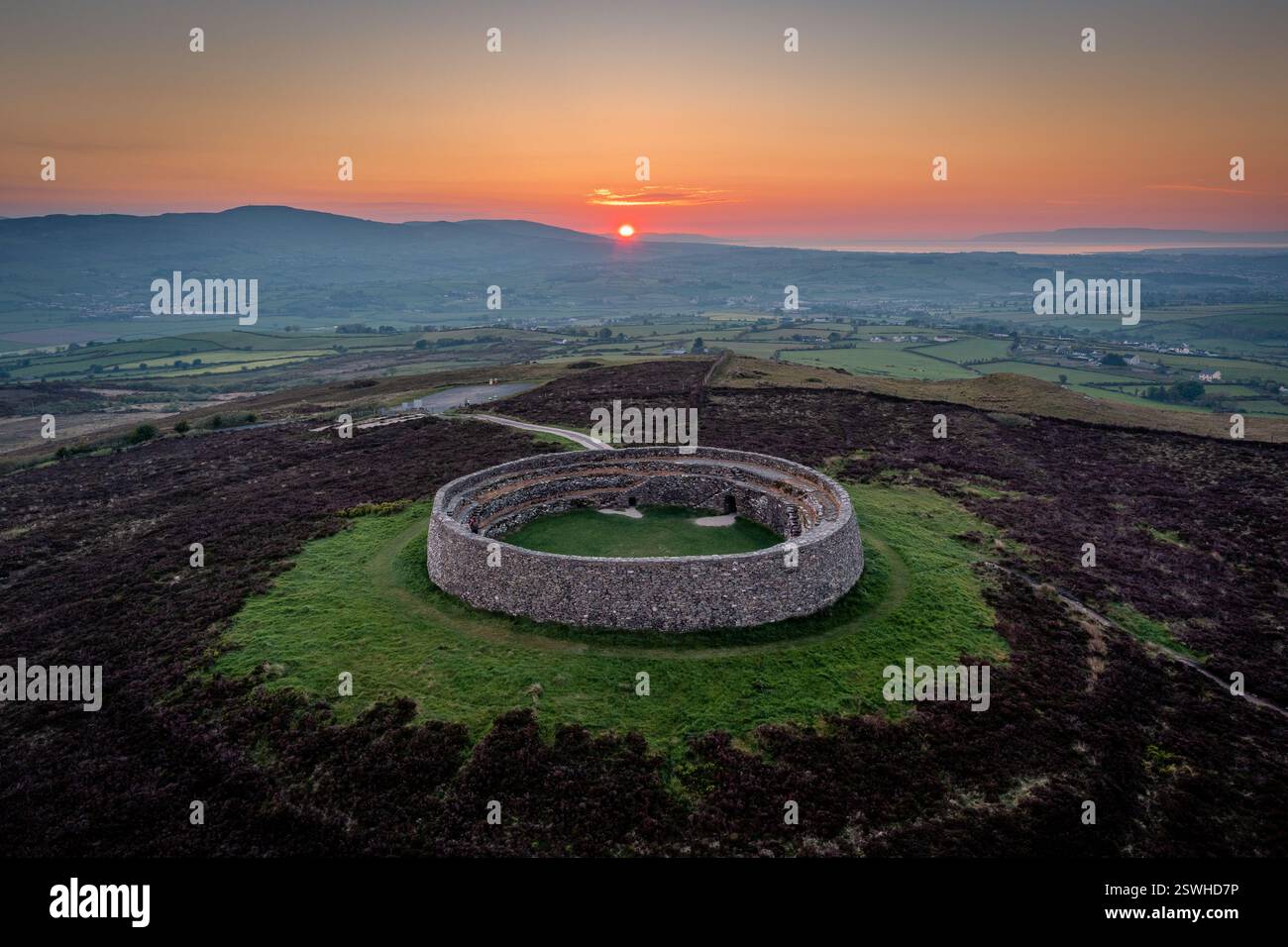 Cahereiny FortFairy fort / stone ringfort · 400 yd
 Kilraghtis ChurchChurch · 529 yd
 Enclosure in Drumquin (islands By.)Enclosure · 1131 yd
 Church in Kilvoydan SouthChurch · 1.2 mi
 O'Brien's CastleCastle · 1.6 mi
 Kilcatherine GraveyardWood · 1.7 mi
 CastleCastle, ringwork · 2.3 mi
 Derrymore WoodWood · 2.4 mi
 Mulkere MemorialMemorial · 3.3 mi
 Ennis AbbeyMuseum · 4.2 mi
 Clare MuseumMuseum · 4.3 mi
 Battle of TullyodeaBattlefield · 4.9 mi