What is recorded here
Under the grass of Ballynascragh lies a forty-metre stone circle, reduced now to two stubborn boulders at the western edge. They mark the ghost of a wall that once held back the pasture, perhaps guarding hearths and children before the land swallowed the fort whole. The fairness in its name suggests people believed the stones belonged to others, yet human hands built the ring.
In reclaimed pastureland. Classified by McCaffrey (1952, 216, no. 76a) as a very ruinous circular ‘Stone fort’ (diam. c. 40.2m). Apart from two earthfast boulders at W, which may have formed part of the enclosing wall, no visible surface trace survives.
Compiled by: Galway Archaeological Survey, UCG
Date of upload: 5 January 2017
The monument record does not grant public access. Check the route and ask the landowner before entering private land.
- What survives
- Recorded monument
Places near here
 Structure in BallynascraghStructure · 268 yd
 Field system in BallynascraghField system · 390 yd
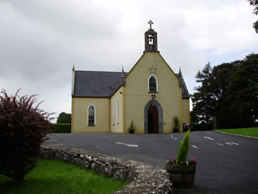 Saint Killian's Catholic Churchchurch/chapel · 577 yd
 Ballymanagh Ho.House, 18th/19th century · 749 yd
 Cregg Castle (in ruins)Castle, tower house · 1332 yd
 CarnanthomasCastle, unclassified · 1585 yd
 Moyard WoodWood · 4.7 mi
 Scalpeen RockNamed rock · 6.2 mi
 Kilcornan ForestWood · 6.5 mi
 Drumacoo Monastic SiteHeritage attraction · 7.9 mi
 MweenisharanIslet · 9.4 mi
 Mulroney's IslandIslet · 10 mi