What is recorded here
No visible gap exists in the thirty-metre stone ring, yet two rectangular houses and a hidden underground passage remain inside the wet pasture. A small stream still dives beneath the earth, flows through the buried chambers, and reappears outside the wall. The water remembers the shape of the fort even when the stones no longer display a door.
Internal diam. c. 30m N-S, 33m E-W
Although the site of this cashel is marked on the 2nd edition of the OS map only by a curve in the townland boundary, the remains of the enclosing wall can still be traced around the entire perimeter, and 2 rectangular house sites and a Man-made underground passage are visible in the interior. It is located in wet pastureland on the lower S slopes of the mountain ridge that extends E from Lough Anscaul, and commands a good view over the Anascaul valley.
The wall is now reduced to a 5.7m wide band of stone collapse. The inner wall-face is completely obscured, but a single course of the outer face is visible for most of the circumference, and in the SE quadrant the outer face stands up to .85m high. The W half of the wall forms part of the townland boundary and a modern wall has been built on top of the remains of the cashel wall on this side. There is no clear evidence for an entrance.
House 1: This abuts the cashel wall at S. It measures 7m N-S and 4.58m E-W internally, and the drystone-built walls stand to a maximum height of .65m; they are c. 0.9m wide. Two opposed entrances in the E and W walls measure at least .5m and .8m wide respectively; they are both defaced.
House 2: This abuts the cashel wall at W. It measures 8.3m E-W and 5.3m N-S internally and the drystone-built walls are 1.2m wide and c. 0.5m high. The 2 opposed entrances in the N and S walls are now defaced.
Souterrain: The Man-made underground passage lies in the NE sector of the interior. It is comprised of 2 dry stone-built passages or chambers which are now inaccessible but which can be partly viewed through a gap under one of the roofing slabs. One section is aligned NNE-SSW, parallel to and possibly partly under the cashel wall, and the 2nd section runs SW from this for at least 5.5m. A small stream which formerly skirted the outside of the cashel wall in the NE quadrant now disappears underground at N, flows through part of the Man-made underground passage, and re-emerges outside the cashel at ESE.
The above description is derived from J. Cuppage, ‘Corca Dhuibhne. Dingle Peninsula archaeological survey. Ballyferriter. Oidhreacht Chorca Dhuibhne’ (1986), no. 543. In certain instances the entries have been revised and updated in the light of recent research.
Date of upload: 7 August 2013
The monument record does not grant public access. Check the route and ask the landowner before entering private land.
- What survives
- Recorded monument
Places near here
 LissanillaunArchaeological place · 151 yd
 LisnadrominArchaeological place · 336 yd
 Glanteenassig Forest ParkForest · 1.6 mi
 Church in AnnagapChurch · 1.6 mi
 Graveyard in BallynacourtyGraveyard · 1.9 mi
 Brackloon Lodgehotel · 2.0 mi
 Statue of Our LadyHeritage attraction · 2.2 mi
 Jerome ConnorMemorial · 2.2 mi
 CummeenMountain / peak · 2.4 mi
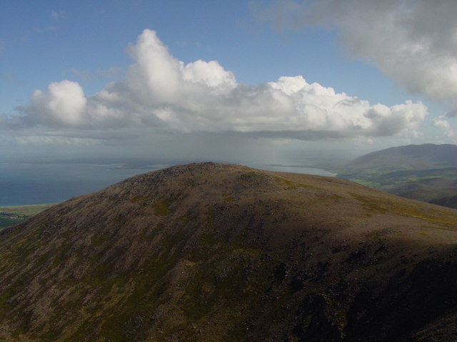 Stradbally MountainMountain / peak · 2.6 mi
 Bunaneer StrandBeach / strand · 3.1 mi
 Acres PointHeadland · 4.5 mi