What is recorded here
Fairy fort in Ballybrone: oval banked rath, 44 by 37 metres, on a south-facing hill slope in County Galway. A field wall cuts through both ends, as if human convenience disregarded the shape entirely. Ten metres away sits an unclassified stone structure, purpose unknown, watching or waited upon. The bank has lost soil in places, yet the outline holds, which suggests the ground remembers what people keep forgetting.
On the S-facing slope of a low hill. Oval rath (WSW-ENE 44m, NNW-SSE 37m) defined by a denuded bank from WSW through N to ENE. A field wall cuts the monument at WSW and ENE, to SE of which a degraded scarp forms the enclosing element. An unclassified stone structure (GA057-043----) lies 10m to WNW.
The above description is derived from the published 'Archaeological Inventory of County Galway Vol. II - North Galway'. Compiled by Olive Alcock, Kathy de hÓra and Paul Gosling (Dublin: Stationery Office, 1999).
Date of upload: 05 August 2010
The monument record does not grant public access. Check the route and ask the landowner before entering private land.
- What survives
- Recorded monument
Places near here
 Field system in BallybroneField system · 195 yd
 IndicatedEnclosure · 204 yd
 Annagh Girls' National Schoolschool · 1.1 mi
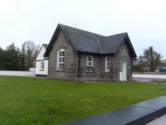 Annagh Boys' National Schoolschool · 1.2 mi
 Castle (in ruins)Castle, tower house · 2.2 mi
 Common WhitebeamCommon Whitebeam · 2.5 mi
 SycamoreSycamore · 2.5 mi
 Corrofin CastleCastle · 2.6 mi
 Knockmoy AbbeyHeritage attraction · 4.8 mi
 Kilcoona Round TowerHeritage attraction · 8.4 mi
 Ballinduff BayBay · 9.0 mi
 Mass RockNamed rock · 9.4 mi