What is recorded here
Half a kilometre north of the village, a low earthen bank still circles a shallow ditch on a slight rise in undulating grassland. The subcircular rath measures about thirty-six metres east to west, though grass and age have blurred its edges. People may have lived there, excluded others, or simply marked the land before written memory; the ditch and bank remain as a quiet claim on the field.
On a slight rise in undulating grassland. Poorly preserved subcircular rath (E-W 36m) defined by a low overgrown earthen bank and external fosse. The td. boundary encircles the fosse from N through E to SE.
The above description is derived from the published 'Archaeological Inventory of County Galway Vol. II - North Galway'. Compiled by Olive Alcock, Kathy de hÓra and Paul Gosling (Dublin: Stationery Office, 1999).
Date of upload: 05 August 2010
The monument record does not grant public access. Check the route and ask the landowner before entering private land.
- What survives
- Recorded monument
Places near here
 IndicatedEnclosure · 223 yd
 Field system in BallybroneField system · 525 yd
 Annagh Girls' National Schoolschool · 1.1 mi
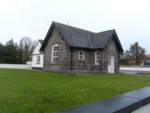 Annagh Boys' National Schoolschool · 1.2 mi
 Castle (in ruins)Castle, tower house · 2.1 mi
 Corrofin CastleCastle · 2.4 mi
 Common WhitebeamCommon Whitebeam · 2.5 mi
 SycamoreSycamore · 2.6 mi
 Knockmoy AbbeyHeritage attraction · 4.7 mi
 Kilcoona Round TowerHeritage attraction · 8.3 mi
 Ballinduff BayBay · 9.0 mi
 Mass RockNamed rock · 9.2 mi