What is recorded here
Number 25. That is fort twenty-five in the local count. People built twenty-four before it and maybe twenty-four after. The number does not claim the best shape or the largest size. It records the order in which the survey named the places.
Raised circular area (int. diam. 44.2m) enclosed by a substantial earthen bank levelled from NE-S-SSE, and a wide, shallow fosse largely infilled from NNW-N-SSE. A field fence has been erected against the outer face of the bank from NNW-N-NNE. Original entrance may be at E.
The above description is derived from the published 'Archaeological Inventory of County Cavan' (Dublin: Stationery Office, 1995). In certain instances the entries have been revised and updated in the light of recent research.
Date of upload/revision: 22 December 2008
The monument record does not grant public access. Check the route and ask the landowner before entering private land.
- What survives
- Recorded monument
Places near here
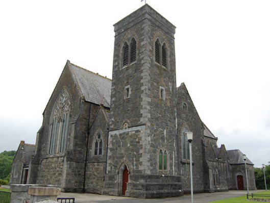 Saint Brigid's Catholic Churchchurch/chapel · 641 yd
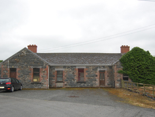 Killashandra Railway Stationrailway station · 696 yd
 Killeshandra Irish Countrywomen's Association 70th AnniversaryMemorial · 978 yd
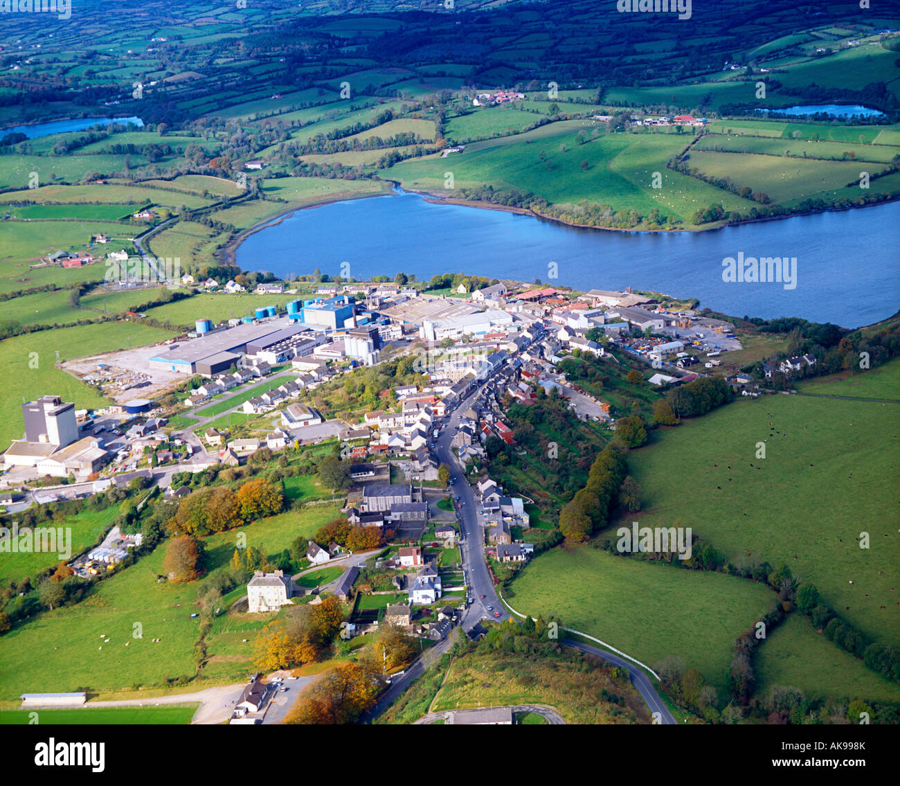 IndicatedFairy fort / earthen ringfort · 1570 yd
 Pedunculate OakPedunculate Oak · 1587 yd
 Castlehamilton DemesneForest · 1692 yd
 Enclosure in ShancroaghanEnclosure · 1.0 mi
 Creenagh GlebeMountain / peak · 1.5 mi
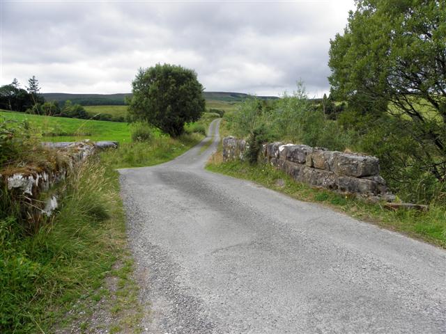 Derries UpperMountain / peak · 2.0 mi
 Inch IslandIslet · 2.1 mi
 Woodenhouse BayBay · 2.2 mi
 Killykeen Forest ParkForest · 2.3 mi