What is recorded here
No wall, ditch or stone remains visible in the rough grazing on the north side of the Slieve Miskish mountains. Urhin still gives the lost ringfort its name, while local tradition calls it a fairy fort. The land may have swallowed a human boundary, or the boundary may have belonged to the mountains all along.
In rough grazing on N side of Slieve Miskish mountains. Local tradition of ringfort. No visible surface trace.
The above description is derived from the published 'Archaeological Inventory of County Cork. Volume 1: West Cork' (Dublin: Stationery Office, 1992). In certain instances the entries have been revised and updated in the light of recent research.
Date of upload/revision: 14 January 2009
The monument record does not grant public access. Check the route and ask the landowner before entering private land.
- What survives
- Recorded monument
Places near here
 Field boundary in CaherkeenField boundary · 185 yd
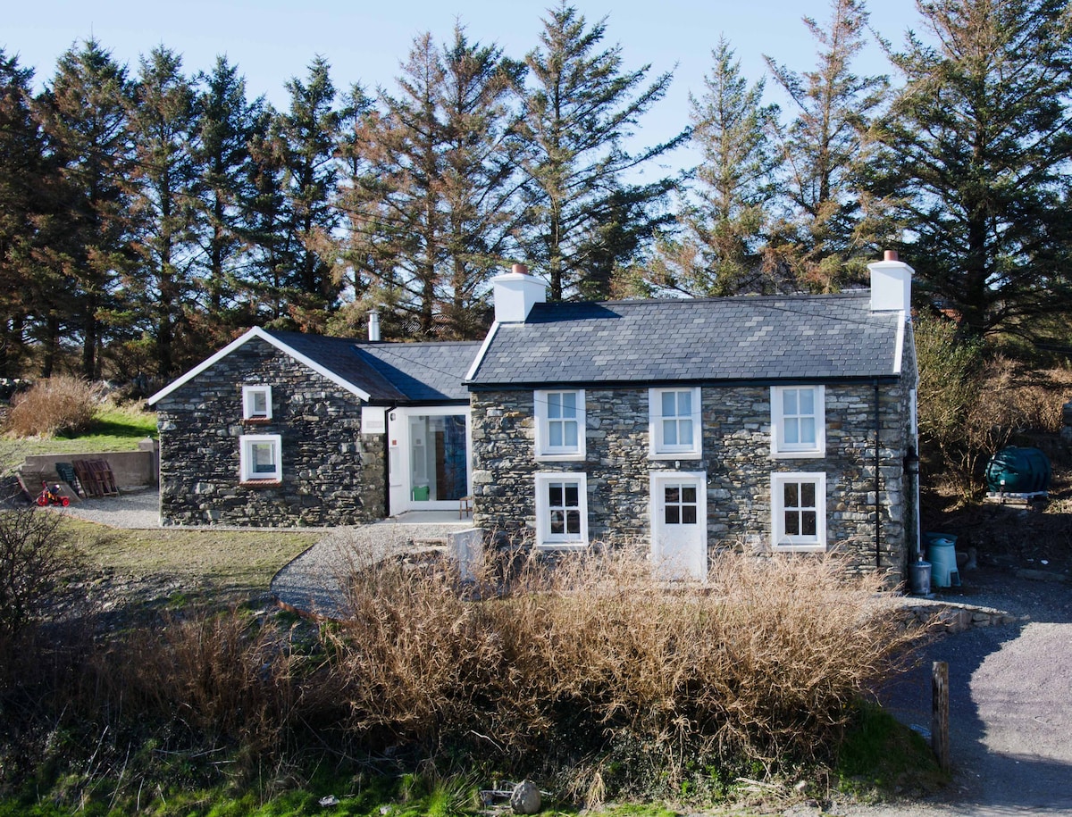 Hut site in CaherkeenHut site · 187 yd
 Church in CaherkeenChurch · 1243 yd
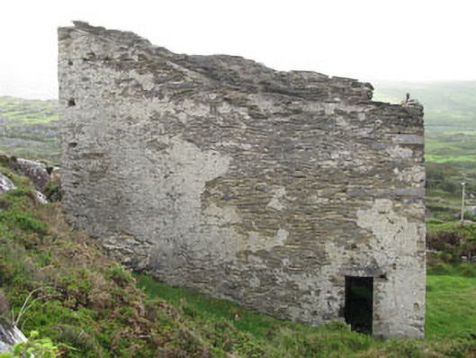 magazinemagazine · 1.0 mi
 KnocknagallaunMountain / peak · 1.1 mi
 Mass RockVisitor information · 1.1 mi
 Caherkeen Mass RockHeritage attraction · 1.2 mi
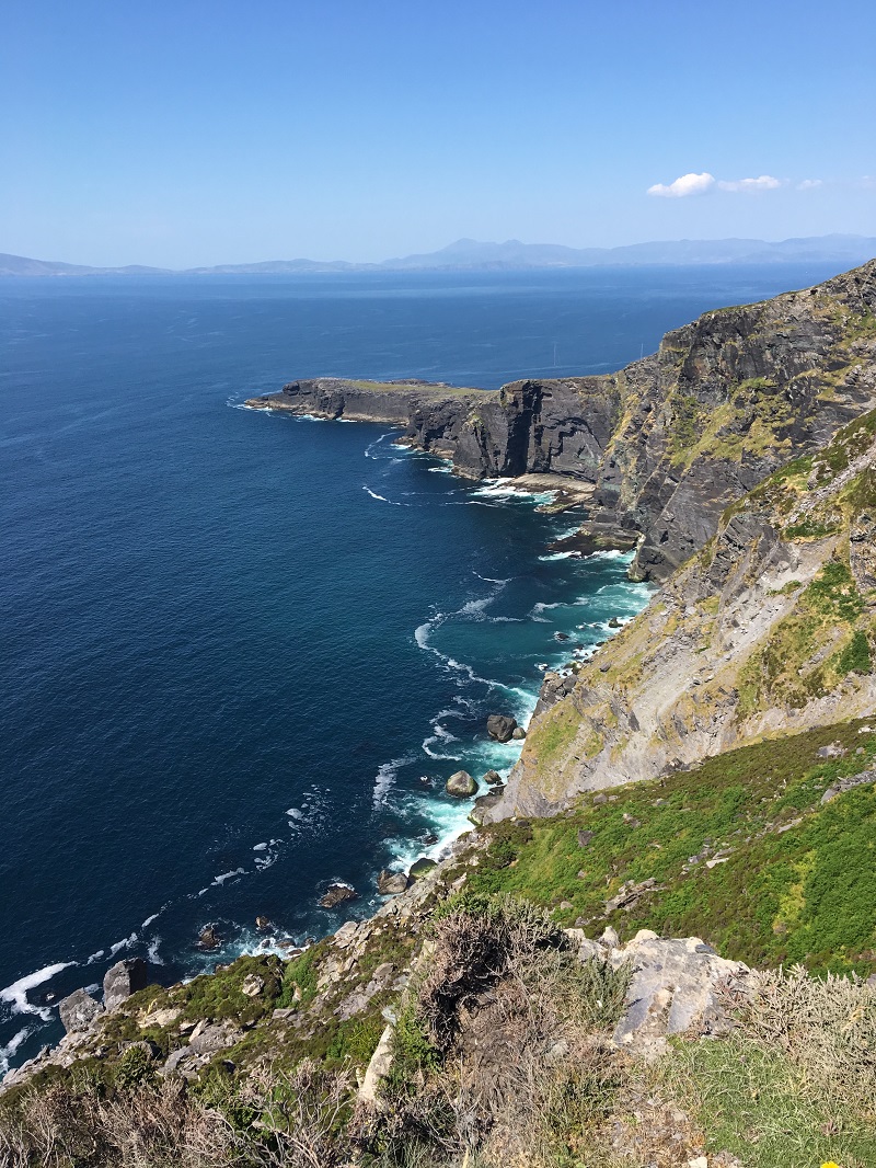 Wild Atlantic WayVisitor information · 1.5 mi
 KnockgourMountain / peak · 1.6 mi
 Allihies Copper Mine MuseumMuseum · 1.8 mi
 Blue IslandsIslet · 2.0 mi
 Ballydonegan StrandBeach / strand · 2.5 mi