What is recorded here
No fairy ever flew here. A family lived here, built a round home, lost the roof, and left the ground marked. The fort field still holds that shape because people kept using the land around it.
In pasture. Arc of hachures SE->SW depict bank on 1938 OS 6-inch map, broken line SW->SE completes circle enclosing oval area. Circular, slightly raised area (diam. 23m) enclosed by low earthen bank in parts (int. H 0.3m; ext. H 0.4m). According to local information, known as the fort field. Fulacht fiadh (CO071-059002-) c. 20m to SE of enclosure.
The above description is derived from the published 'Archaeological Inventory of County Cork. Volume 3: Mid Cork' (Dublin: Stationery Office, 1997). In certain instances the entries have been revised and updated in the light of recent research.
Date of upload/revision: 14 January 2009
The monument record does not grant public access. Check the route and ask the landowner before entering private land.
- What survives
- Recorded monument
Places near here
 Man-made underground passagesMan-made underground passage · 1118 yd
 DolmenWedge tomb · 1558 yd
 Ummera WoodWood · 1585 yd
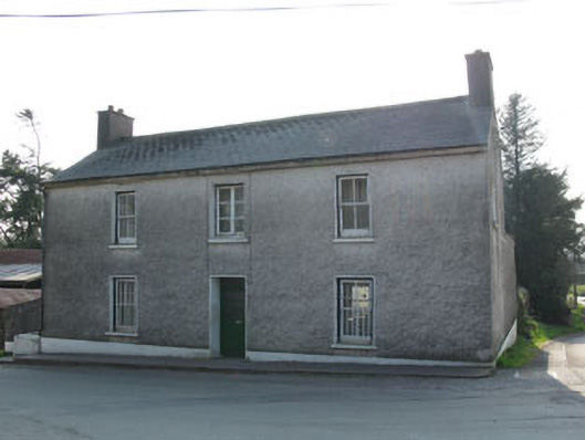 garda station/constabulary barracksgarda station/constabulary barracks · 1.2 mi
 Historic buildingOfficially recorded historic building · 1.3 mi
 Black WoodWood · 1.4 mi
 Mashanaglass Castle (in Ruins)Castle, tower house · 2.0 mi
 Battle of Macroombattle · 2.2 mi
 Macroom Castle (in Ruins)Castle, tower house · 2.4 mi
 Macroom WalksVisitor information · 2.4 mi
 Clonavrick CliffCliff · 3.1 mi
 BurrenMountain / peak · 3.1 mi