What is recorded here
Fairy fort, Tuogh, County Limerick. A ringfort, mapped as a 30m circle in 1841, now a 34m wedge shaped by a curving earthen bank and two dry-stone walls. Trees cover the level ground inside. The fort is no longer a full circle, but the boundary still stands, bent by time and use rather than broken.
In gently undulating pasture, atop slight rise. Monument, depicted as circular enclosure (diam. c. 30m) on 1841 OS 6-inch map, now survives as wedge-shaped area (34m N-S; 23m E-W) enclosed NE->SW by arc of curving earthen bank (int. H 0.5m; ext. H 0.45m), and is defined on W and N sided by dry-stone field walls which meet at NW. Remains of a dry-stone wall runs along top of bank. Interior is level and covered by mature trees.
Compiled by: Denis Power
Date of upload: 26 August 2011
The monument record does not grant public access. Check the route and ask the landowner before entering private land.
- What survives
- Recorded monument
Places near here
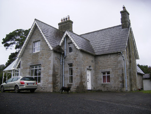 Cregaun Househouse · 302 yd
 Coolah Bridgebridge · 455 yd
 OutlinedEnclosure · 818 yd
 Knockannaholla Grave YardBurial ground · 834 yd
 KnocknagowerNamed rock · 1.2 mi
 Garraunboy CastleCastle · 1.3 mi
 Clonshire CastleCastle · 1.4 mi
 Adare Tourist OfficeVisitor information · 1.6 mi
 Desmond CastleHeritage attraction · 1.9 mi
 Adare Desmond CastleMedieval castle · 1.9 mi
 European YewEuropean Yew · 2.0 mi
 European BeechEuropean Beech · 2.0 mi