What is recorded here
Fairy fort in Tullycarn, County Donegal: a broad earthen ring on a steep hilltop, with panoramic views and little left inside but flat ground. Farm tracks and field banks have cut through or leaned against it since at least the nineteenth century, which is why it stopped being a separate mark on later maps. The name still does its work, suggesting that people once believed the hilltop belonged to another kind of tenant before it became ordinary pasture.
In pasture, crowning the summit of a steep-sided hill in an area of sharply undulating hilly terrain. The rath encompasses much of the level space on the top of the hill; a narrow strip of relatively level ground surrounds the rath, giving way to a steep fall of ground on all sides. The location provides panoramic views.
The rath is not shown on 1838 OS 6-inch map; by the time of the 1906 edition, the rath had been incorporated into later field boundaries, and is indicated on that map as a subrectangular field.
Raised circular area or platform (55.5m N–S; 56m N–S) defined by an earthen scarp. At ENE–SE the scarp (H 1.5m at E, 1.8-2m at SE) serves as a field boundary: it is cut to the vertical, topped by a post and wire fence, and incorporated into the line of a linear field bank, which continues beyond the rath to SW. There is a narrow field ditch at the base of the scarp. Outside this, is a strip of level ground (Wth 4-5m), used now as a farm track, from the SE edge of which the hill slope falls steeply.
The enclosing scarp on the W half of the rath has been partly levelled to a broad, low slope (H 1m; Wth slope 5-6m), rather irregular in parts at SE-S. At N–NE a field bank (Wth 0.8-1m; H 0.8-1m) on a NW–SE axis skirts the rath, respecting its curve, with a gap (Wth 1.5-1.7m) intervening between the two. The rath interior is flat and featureless.
Attached images:
DG105-017----_01.JPG: Viewed from SW
DG105-017----_02.JPG: Enclosing scarp at NE, viewed from N
Compiled by: Jane O’Shaughnessy
Date of upload: 5 November 2019
The monument record does not grant public access. Check the route and ask the landowner before entering private land.
- What survives
- Recorded monument
Places near here
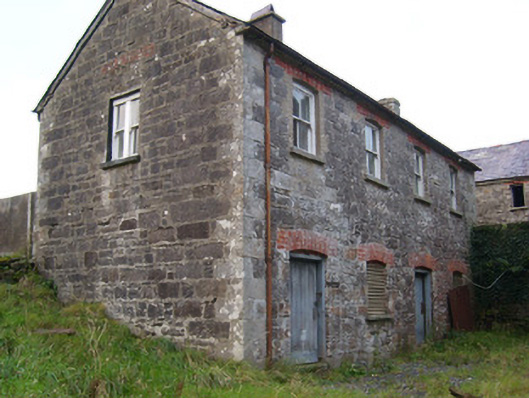 Pettigo Corn and Saw Milloffice, outbuilding, mill manager's house · 1215 yd
 Lurganboy Bridgebridge · 1289 yd
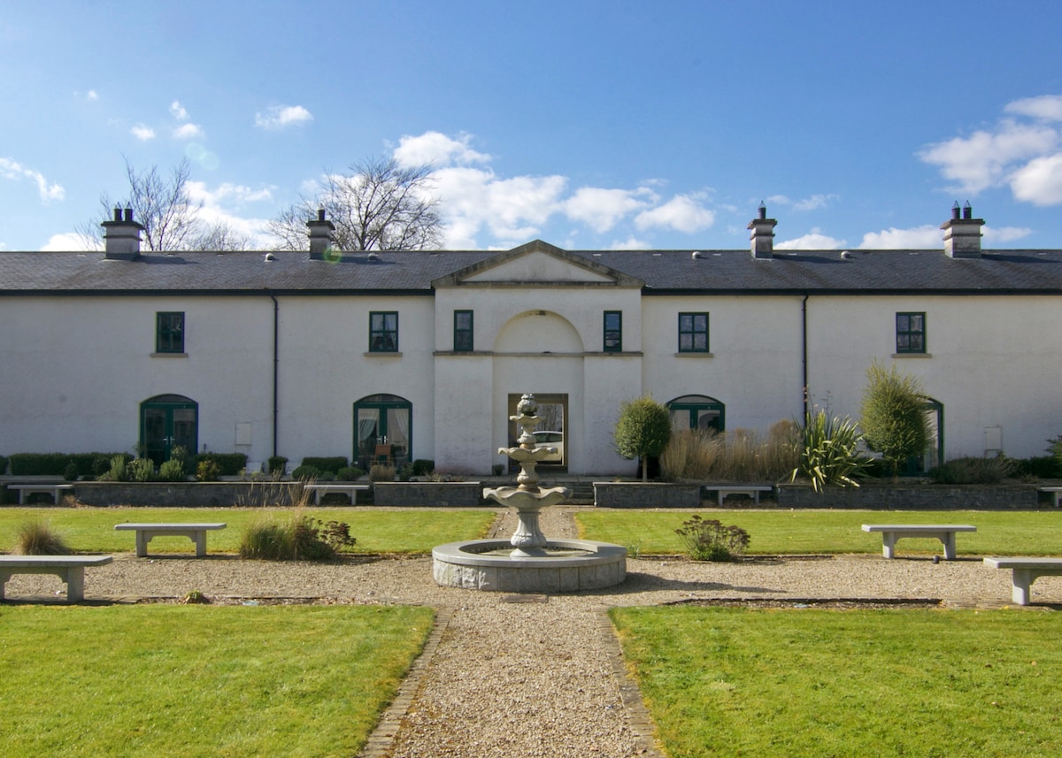 ENCLOSURE in DrumlongfieldENCLOSURE · 1567 yd
 Cross in Carn (pettigoe Ed)Cross · 1.0 mi
 Drumharriff WoodForest recreation place · 1.1 mi
 Castle McGrathCastle · 2.1 mi
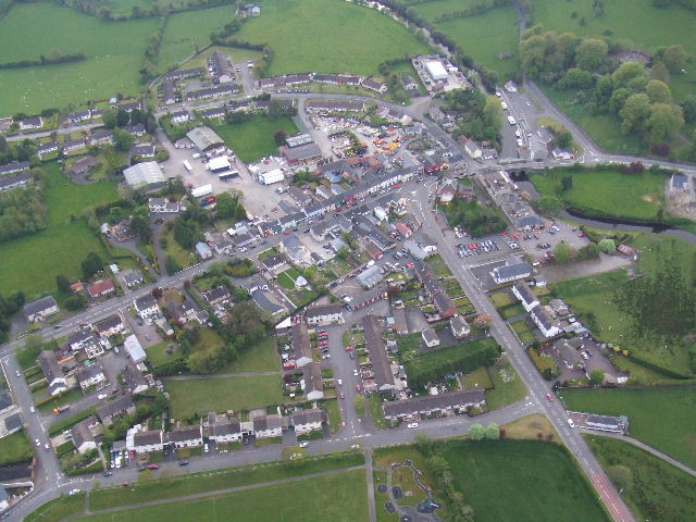 Kesh ForestForest · 2.3 mi
 Smiths RocksIsland · 2.4 mi
 Teige's RockIsland · 2.5 mi
 Boa IslandIsland · 3.1 mi
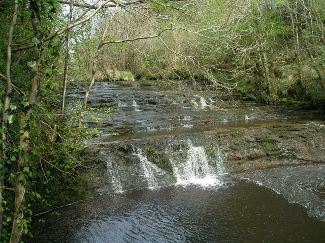 Drummoney WaterfallWaterfall · 3.4 mi
 Patrick the PilgrimMemorial · 3.5 mi