What is recorded here
No visible stone or earth remains, yet the forgotten circle may have hosted people, ceremonies or ordinary life before the land took it back.
Situated on the SE-facing slope of a drumlin. This is depicted as an embanked circular enclosure (ext. diam. c. 35m) described as a 'fort' in gothic lettering on the 1834 edition of the OS 6-inch map and as a curve in a field bank E-SW on the 1907 edition. No archaeological feature is visible at ground level in pasture.
The above description is derived from the published 'Archaeological Inventory of County Monaghan' (Dublin: Stationery Office, 1986). In certain instances the entries have been revised and updated in the light of recent research.
Date of revision: 29 August 2017
The monument record does not grant public access. Check the route and ask the landowner before entering private land.
- What survives
- Recorded monument
Places near here
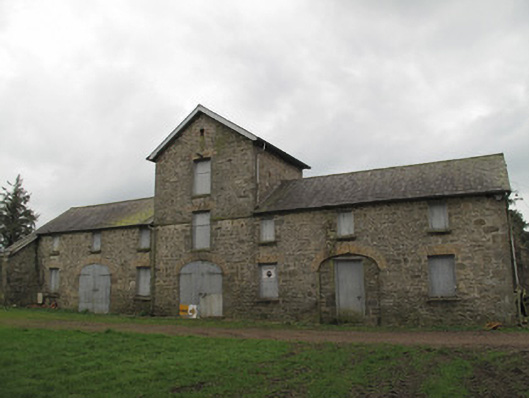 Anketell Groveoutbuilding · 1017 yd
 Saint Patrick's Catholic Churchchurch/chapel · 1279 yd
 Not inidcatedFulacht fia · 1402 yd
 Fulacht fia in CarrigansFulacht fia · 1575 yd
 Emyvale Heritage TrailVisitor information · 2.0 mi
 Coast RedwoodCoast Redwood · 3.2 mi
 Western RedcedarWestern Redcedar · 3.2 mi
 Harry LaveryMemorial · 4.2 mi
 Monaghan County MuseumMuseum · 4.4 mi
 Rossmore MonumentMemorial · 4.6 mi
 Bawn in Roosky (monaghan By., Monaghan Par.)Bawn · 4.7 mi
 Banba GiantHeritage attraction · 5.7 mi