What is recorded here
Fairy fort / earthen ringfort in Tawnagh (tirerrill By.) is a fairy fort or earthen ringfort in Tawnagh (tirerrill By.), County Sligo, Ireland. The oval site measures 48 metres north-west to south-east and 38 metres north-east to south-west, with a 3.5-metre-wide earthen bank standing 0.8 metres high on both sides. A 3-metre-wide, 1.3-metre-deep ditch runs outside the bank from north-west to east, while a field boundary cuts through the south-south-west section. Near the centre, a 23-metre-wide circular area rises above the steep south-west slope, bounded by a 1-metre-wide bank along the east and a scarp elsewhere, with a 2-metre-deep rectangular quarry hole on its north side.
In pasture, on a steep SW-facing slope. An oval area (48m NW-SE; 38m NE-SW) defined by an earthen bank (Wth 3.5m; int. H 0.8m; ext. H 0.8m) SSW-S and truncated by a field boundary S-SSW. An external fosse (Wth 3m; D 1.3m) is evident NW-E. The SW portion of the interior is raised to compensate for the slope, however it still retains a steep slope down to SW. Near the centre of the interior is a raised circular area (diam. 23m NW-SE) defined by the remains of an earthen bank (Wth 1m; int. H 0.3m; ext. H 0.8m) along the E arc and by a scarp elsewhere. A rectangular quarry-hole (D 2m) is evident on the N side of this internal enclosure. Trees grow along the perimeter of the rath.
The above description is derived from the published 'Archaeological Inventory of County Sligo' compiled by Ursula Egan, Elizabeth Byrne, Mary Sleeman with Sheila Ronan and Connie Murphy (Dublin Stationery Office, 2005).
Date of upload: 18 January 2008
The monument record does not grant public access. Check the route and ask the landowner before entering private land.
- What survives
- Recorded monument
Places near here
 Enclosure in SpringfieldEnclosure · 452 yd
 CrossCross, Tau cross · 539 yd
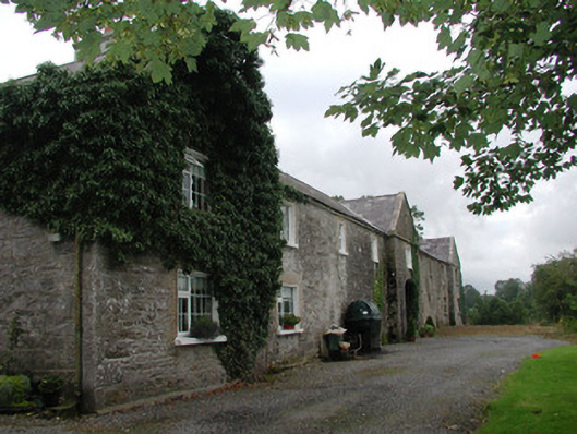 Ardagh Housefarmyard complex · 1.1 mi
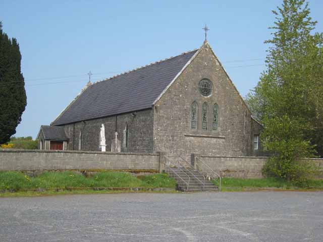 Saint Patrick's Catholic Churchchurch/chapel · 1.5 mi
 Riverstown Folk ParkHeritage attraction · 1.6 mi
 Behy Castle (in Ruins)Castle, tower house · 1.9 mi
 Castle Douglas (Site of)Castle, unclassified · 2.1 mi
 James MorrisonMemorial · 3.0 mi
 School CaveCave · 3.0 mi
 Annaghgowla IslandIslet · 3.1 mi
 Kesh CorannMountain / peak · 3.5 mi
 Treanscrabbagh caveCave · 3.6 mi