What is recorded here
Fairy forts are misnamed. They are human ringforts, circular and old. The fort in Tarmon East has been levelled, but it appeared on maps and aerial photographs as a large round enclosure. It may have housed a family, stored grain or marked a boundary. Someone lived there, loved there and was forgotten. The grass erased the wall, but the shape still resists being believed.
This site originally lay E of the previous rath (KE006-003----), but has since been levelled. The site is marked on the 1841-42 and 1914-15 OS maps as a large circular enclosure. It also appears quite clearly on the Geological Survey of Ireland's aerial photographs (1974).
The above description is derived from C. Toal, ‘North Kerry Archaeological Survey’. Dingle. Brandon in association with FAS Training and Employment Authority (1995), no. 325. In certain instances the entries have been revised and updated in the light of recent research.
Date of upload: 2 August 2013
A fairy fort or earthen ringfort in Tarmon East, likely dating to the early medieval period, is indicated by its circular enclosure visible on 19th- and early 20th-century maps. The site, now levelled, was traditionally associated with local folklore surrounding fairies and other supernatural beings, common to many such forts in Irish tradition.
The monument record does not grant public access. Check the route and ask the landowner before entering private land.
- What survives
- Recorded monument
Places near here
 Tarmon Castle (in ruins)Castle, unclassified · 938 yd
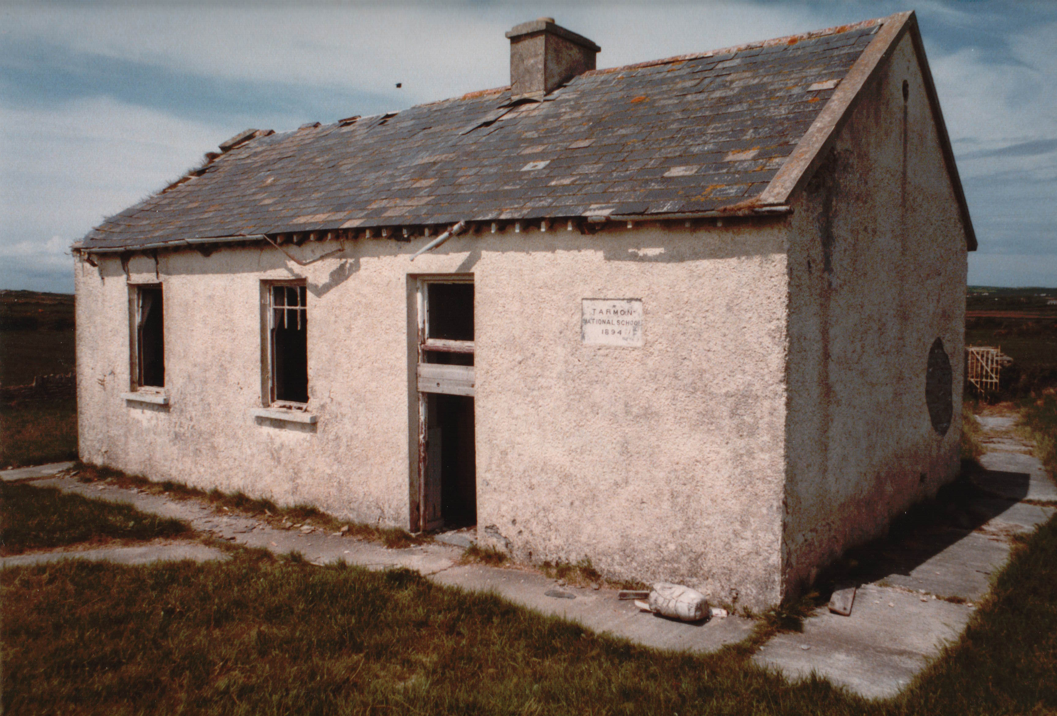 Enclosure in Tarmon EastEnclosure · 942 yd
 LissymilleenArchaeological place · 1265 yd
 Ballygoghlan National Schoolschool · 1.7 mi
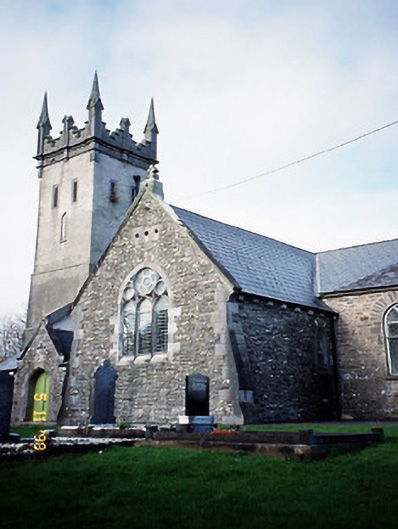 Saint Brendan's Church (Kilnaughtin)church/chapel · 2.1 mi
 Tarbet BayBay · 2.6 mi
 Castle (in ruins)Castle, unclassified · 2.7 mi
 Mountshannon WoodWood · 5.7 mi
 Siege of Carrigafoyle Castlesiege · 5.9 mi
 Lawson's CypressLawson's Cypress · 6.0 mi
 Ballymacrinan BayBay · 6.1 mi
 Carrig IslandIsland · 6.2 mi