What is recorded here
Situated on a natural level platform at a break on a W-facing slope of Spinans Hill. Circular enclosure (dims. 26m N-S; 24.5m E-W) defined by a bank (max. H c. 1.5m) and external fosse (max. Wth 4.3m), best visible at the S. There are several gaps but the original may have been that at the NNW, where there are possible traces of a causeway. There is an area of ridge and furrow cultivation (dims. c. 20m x 30m) immediately outside the site to the SE.
The above description is derived from the published 'Archaeological Inventory of County Wicklow' (Dublin: Stationery Office, 1997). In certain instances the entries have been revised and updated in the light of recent research.
Date of upload/revision: 17 December 2008
The monument record does not grant public access. Check the route and ask the landowner before entering private land.
- What survives
- Recorded monument
Places near here
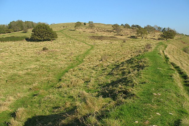 Hillfort in Spinans Hill,ballyhubbock UpperHillfort · 562 yd
 Hillfort in Ballyhubbock Upper,brusselstown,castlequarter,castlesallagh,coolamaddra,eadestown Hill,moorstown (talbotstown Upper By.),spinans East,spinans Hill,spinans MiddleHillfort · 880 yd
 Saint Brigit's Mass StoneNamed rock · 1532 yd
 Saint Brigit's ChairNamed rock · 1559 yd
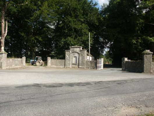 Kilranelagh Housegate lodge · 1691 yd
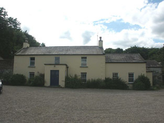 Mount Slaneyfarm house · 1.2 mi
 Castle in ruinsCastle, unclassified · 1.3 mi
 Bawn in Ballintruer BegBawn · 1.3 mi
 Sam McAllistair GraveMemorial · 1.3 mi
 Keadeen MountainMountain / peak · 2.5 mi
 English hollyEnglish holly · 2.6 mi
 Ballyhook HillMountain / peak · 3.0 mi