What is recorded here
Half-built by men and half by gods, the fort leans into the cliff like a suggestion rather than a wall. Its causeway still points northwest, inviting entry into a crescent where stone and soil refuse to separate. What was defended here may have been vision itself, preserved in earth because the landscape would not forget.
Crescent-shaped raised area (int. dims. 45.5m NW-SE; c. 35m NE-SW) enclosed from NW-N-SE by a substantial earthen bank and a wide, shallow fosse. Elsewhere the site is defined by a sheer cliff-face. Break in bank at NW with accompanying causeway represents original entrance.
The above description is derived from the published 'Archaeological Inventory of County Cavan' (Dublin: Stationery Office, 1995). In certain instances the entries have been revised and updated in the light of recent research.
Date of upload/revision: 22 December 2008
The monument record does not grant public access. Check the route and ask the landowner before entering private land.
- What survives
- Recorded monument
Places near here
 Tomregan Church of Ireland Churchchurch/chapel · 937 yd
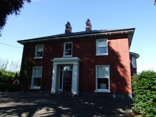 Glendoon Househouse · 1035 yd
 Court tomb in Doon (ballyconnell Ed)Court tomb · 1110 yd
 Kieran Doherty TD Cavan Monaghan MemorialMonument · 1383 yd
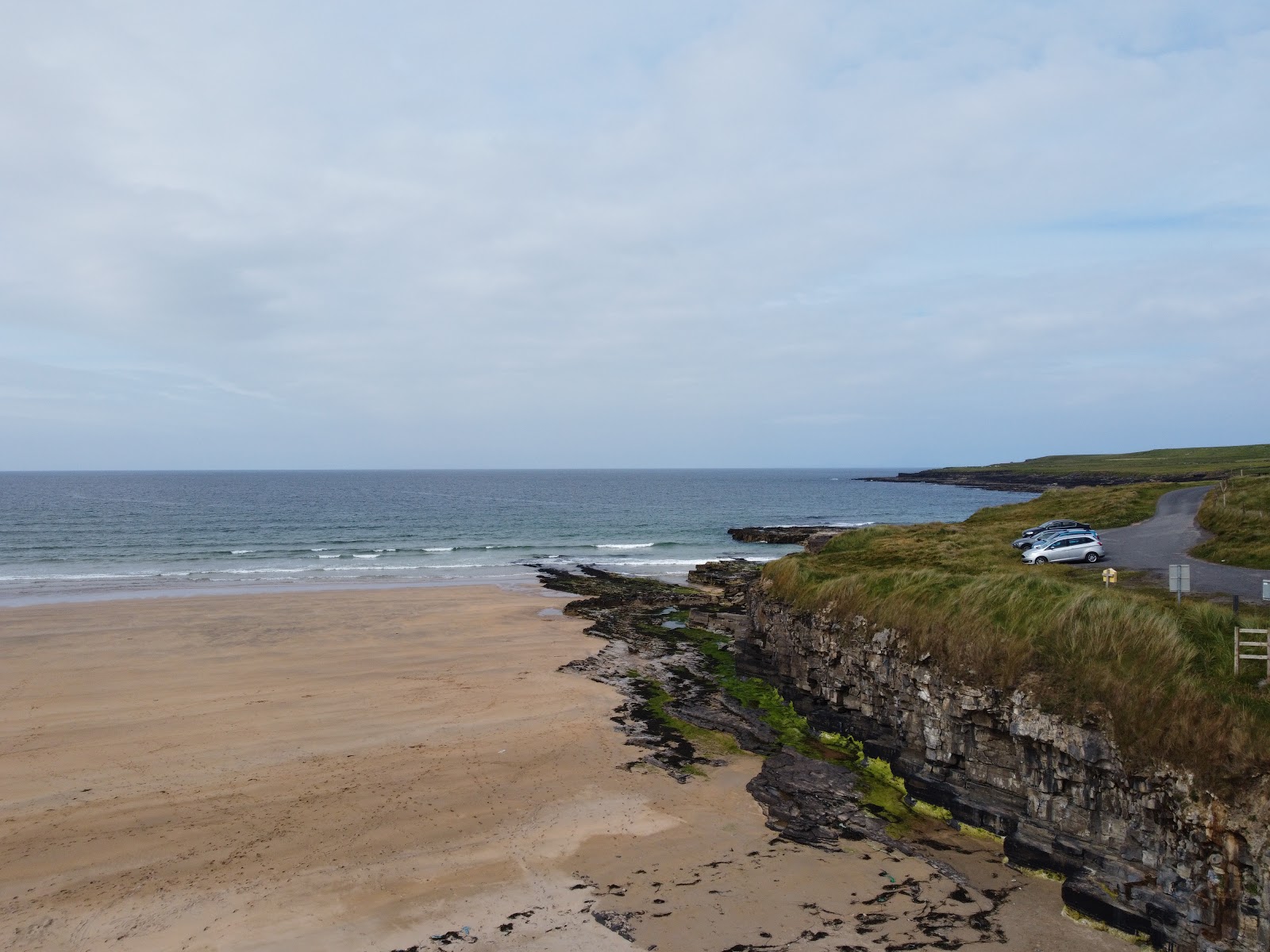 Carrowmore Lecharrownahone ForestForest · 1678 yd
 Swallow HoleCave · 1.1 mi
 Church HillMountain / peak · 1.3 mi
 Clontycarnaghan Wet WoodlandWood · 1.4 mi
 KnockateggalMountain / peak · 1.5 mi
 ENCLOSURE in GortineddanENCLOSURE · 1.9 mi
 LissanoverCastle, unclassified · 2.4 mi
 CrannodIslet · 2.5 mi